Stradbroke Fisherman’s Road
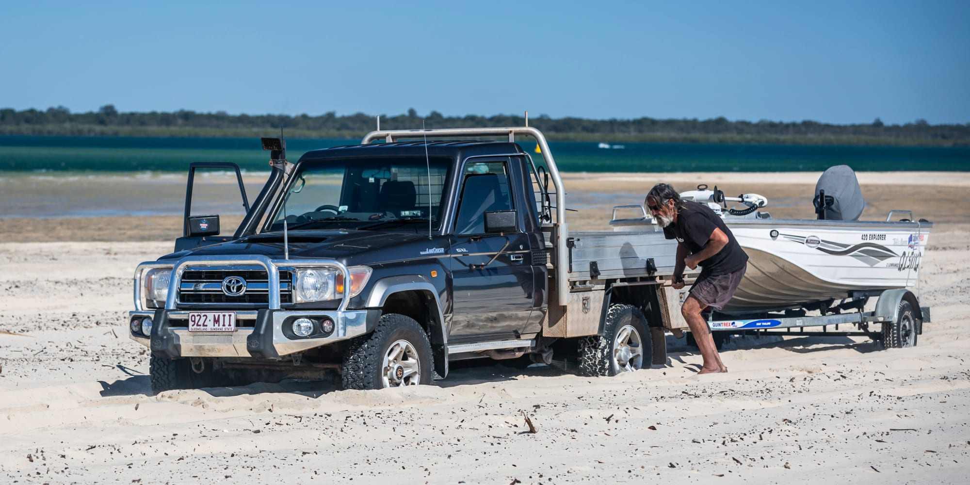
Stray behind the sand dunes on North Stradbroke Island and you’ll discover Fisherman’s Road, also known as the number plate cruncher. It traverses through heathlands and marshlands, past lakes and lagoons and at times through some very deep bog holes.
A high-clearance four-wheel drive fitted with a snorkel is recommended as these holes may be not be only wide and deep but additionally have steep drop-offs. Walking water crossings before driving them is a must.
Entry and exit is either from the southern end via Tarzi Road or the northern approach from Main Beach. It’s just a little over 2km south of the beach entry from George Nothling Drive near Point Lookout, the tourist hub of the island. This access and entry point is via a creek bed which in places becomes very narrow and subject to erosion and flooding. You’ll need to time your drive with the tide if exiting here.
There are a few pull-off areas around the lakes for a swim or picnic but other than that there are no facilities. The lakes are great for kayaks and canoes and wildlife can be prolific, especially in the early morning and late afternoon. The fishing along Main Beach, particularly when the tailor and whiting are running, is fantastic and a great way to finish off the drive.
Rated: Difficult
Length: 1 day
The Condamine
Following an old bullock wagon track, you cross the Condamine River 14 times; this is the headwaters of the mighty Murray-Darling River system.
Boonah, 100km south-west of Brisbane, is the best place to start and finish this drive. Mark the historic Dugandan Hotel, 1km west of Boonah, as a stopping point on your return.
This is a very scenic drive past farms framed by rolling hills. Hauling timber has stopped but the track is still used by locals, walkers, trail bikers and horse riders. Many of the river crossings have grassed areas suitable for pulling over. If you have an eager eye you might even see a platypus.
Queen Mary Falls, tumbling 400m, remains one of the main attractions, but don’t overlook pulling up for the shorter walks to falls such as Daggs, which can often be just as spectacular.
The Condamine River Road is closed when there has been heavy rain. The river itself often carries large boulders and trees and can rise very quickly. Vehicles have drowned, so walking crossings is strongly advised, but be careful. Please obey road closed signs as it’s the only access for some locals in an emergency.
Camping and cabins are available at the privately owned and pet-friendly Queen Mary Falls Caravan Park and there are B&Bs along the track and accommodation options in Killarney and Boonah.
Rated: Easy
Length: One to two days
Border Ranges
Along this drive you will skirt the rims of ancient volcanoes through rainforest and have access to camping areas, walking trails, lookouts and local wares. While it is easily accomplished in a one day drive from Brisbane we do recommend you consider an overnight stay.
Heading from Beaudesert, approximately 65km south-west of Brisbane, this easy drive follows the bitumen along the Mount Lindsey Highway. After leaving the highway on Innisplain Road, take the dirt detour under the railway bridge to your left which crosses Running Creek many times before re-joining the tar – it’s more scenic.
After you cross the border of Queensland and NSW you are officially on Lions Road, a community-built road. There’s a donation box there, so take few minutes and throw in a few gold coins.
There are lookouts one after another, walks, villages with fresh produce and market stalls and amazing flora and flora as you wind through the Border Ranges National Park. Permits are required for vehicle day use and camping in all areas of the Border Ranges and Mebbin National Parks. Day vehicle registration stations are at each park’s entry and exits – take the correct amount of change.
Rated: Easy
Length: One to two days
Cooloola Recreation Area
To one side as you drive you have towering cliffs of coloured sand, and to the other, the wide open ocean and battering surf.
It would have to be Queensland’s best on-shore collection of sand cliffs, but along with that there’s Carlo Sand Blow stretching more than 15ha to see, and the million-dollar car wash around Mudlo Rocks to navigate.
From Brisbane, head north about 126km to Cooroy. Cross the Noosa River on the vehicle barge and continue towards the beach. Make sure you have your Vehicle Access Permit displayed.
This is some beach drive! There’s camping areas along the Teewah Beach Camping Zone, at Inskip Peninsula Recreation Area and at Freshwater Campground. You’ll need to pre-book.
As with all beach drives: time it, folks, with the tide. Mudlo has earned its reputation well with an average of one vehicle a week getting lost to the tide. There is an alternative route but you miss some magnificent coloured sand cliffs.
This drive can also be easily added onto Fraser Island via Inskip Point for those interested in an extended touring option.
Rated: Medium
Length: One to two days
Duck Creek Road
This is a great day drive from Brisbane into the farmlands of the Scenic Rim, ending at the World Heritage-listed Lamington National Park and O’Reilly’s. The O’Reillys are the original family that settled the area and they still live here surrounded by lush rainforest and run the rainforest retreat.
Duck Creek Road, best accessed south of Beaudesert, is a do-it-yourself road built by the local community from 1980-1988. You’ll see signs along the way of sites auctioned to raise revenue to maintain the road. Hence the donation box for us to add our two bob into to be able to access the track.
It’s a windy road to the top, twisting and in places narrow. There are pull-off areas at the lookouts but no facilities until you reach the O’Reilly’s guest area. Through a changing vegetation of grasslands to dry eucalypt and then temperate rainforest, the clay parts of the track can become very slippery after rain.
Camping is permitted in the Green Mountains Camping Area near O’Reilly’s, and there is free access to many walks ranging from short to multi-day hikes. Top tip: Look carefully for the satin bower bird that’s been nesting for years not far from the ranger’s information centre, and don’t leave anything blue out.
Rated: Easy to medium
Length: One day
Words And Images By Danielle Lancaster


