Heading up to Darwin this winter and not looking forward to the long boring Stuart Highway north of Alice? Forget it… we know an off-road track that will blow you away.
For images and the full Unsealed 4X4 experience, read this on our digital magazine platform.
You can easily drive Alice Springs to Tennant Creek up the Stuart Highway in around six hours, it’s a good sealed road all the way with some parts unrestricted in terms of speed limits; but to be honest, it’s as boring as bat droppings. But you’ve got yourself a decent 4WD and off-road trailer, so why not make a journey of it and take a few days and see some of the best Outback scenery in the country?
As four-wheel drivers, we are so familiar with track closures and being treated like aliens by government authorities that the attitude towards off-roaders from the Northern Territory Government comes as a shock. You see they have recognised the worth of four-wheel drive tourism and they actively promote ‘off the beaten track’ exploration. Better than that, they have even established 4WD routes just for us!
The Binns Track is one of these, and I’m not talking a 20-kilometre unsealed road here – the Binns Track stretches all the way from Mt Dare to Timber Creek, well over 2,000 kilometres in length. This yarn isn’t about its entire length, but rather a magic little trek in the middle of it that helps you avoid that long strip of bitumen north of Alice.
Before leaving the Alice make sure you stock up with food, water and fuel as there won’t be any more opportunities until you reach Tennant Creek a few days later. You can get fuel at Gemtree, but that still leaves 850 kilometres of travel before the next place you can top up your tanks.
You leave the bitumen and hit the dusty trail just 50 kays north of Alice Springs by turning right onto the Claraville Road. This typical Outback track leads for 48 kilometres due east, to where you turn north towards the Plenty Highway on the Pinnacles Road. A sign says you are on Aboriginal land and there is no access – but that is only if you leave this track, so you are free to proceed to the north. The track initially winds through some low stone hills before emerging on a large flat plain. The track is wide and well used and should be in good condition. This route culminates at the Plenty Highway which (at this point) is sealed. If fuel is going to be an issue, head west for a few kilometres to the Gemtree caravan park which is also a fuel station. If your timing is suitable, you can even camp here for the night.
After refuelling, head east back up the Plenty Highway. The sealed section lasts for about 20 kays before the surface reverts to the broad red expanse of the traditional Plenty Highway. I wonder how long before they start sealing it all the way to Queensland? You will pass the community of Harts Range which is an Aboriginal community off to the right, nestled below the low outline of the stony outcrop of the same name. After this, the distant escarpment disappears from view and the dusty ‘highway’ is crowded on each side by three-metre high mulga scrub, restricting your view of the track ahead.
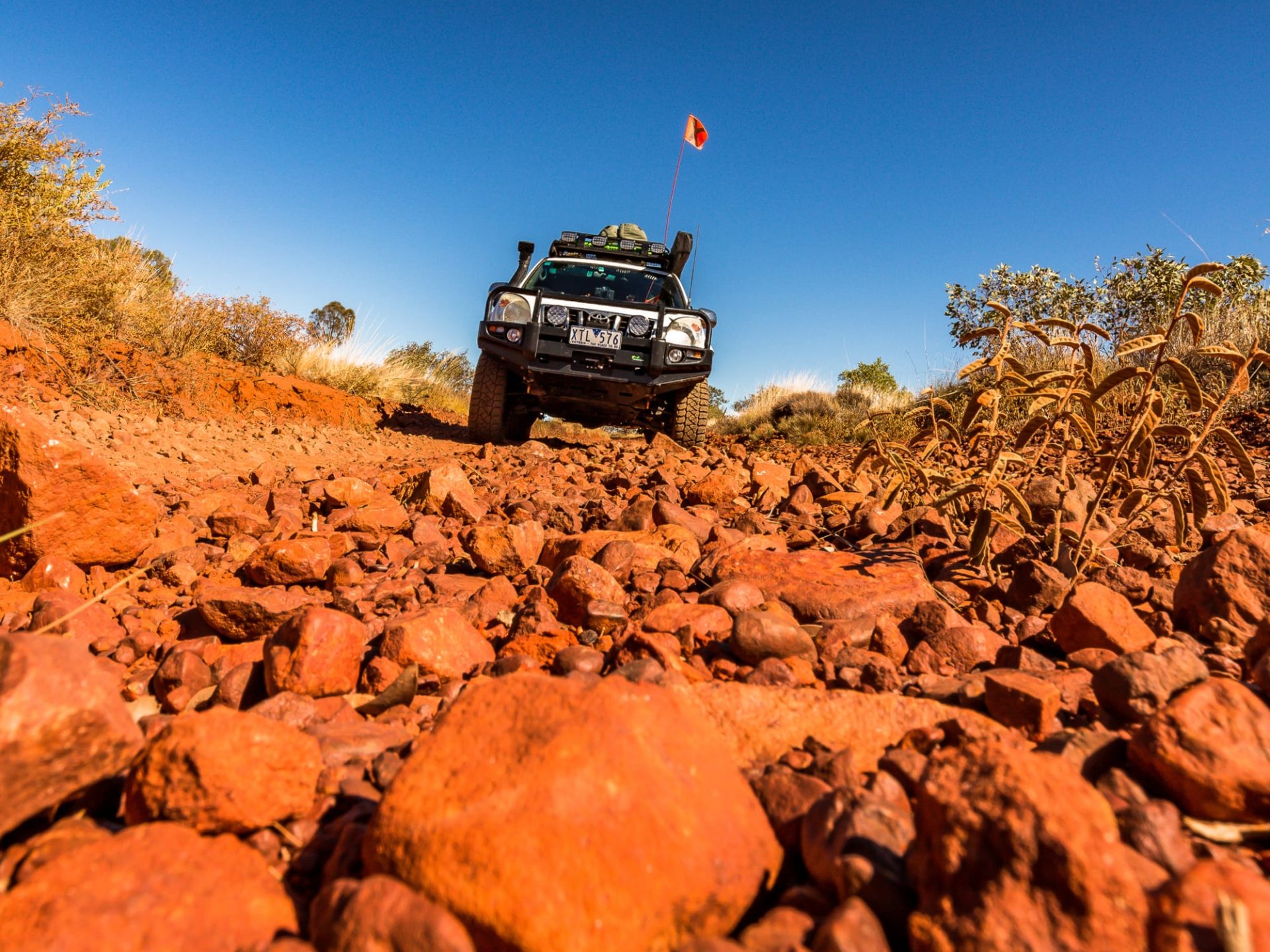
Just 20 easy clicks up the Plenty, you come to an intersection: The Binns Track is signposted to the left; take it (the road, not the sign post). You immediately get the impression of driving off into the ‘Never Never’; the road becomes even more red, and the dust cloud behind your rig will rise high if there is no wind. It is always difficult to describe track conditions once you get into this remote type of country, as they can vary from month to month and change completely overnight if rain is about. Suffice to say, if it rains these roads will be closed. If rain has fallen prior to your visit there may well be large red pools of ponded water and deep wheel ruts from those who did not heed the ‘Closed’ sign. But more likely it will be dry, and the road will be in what experienced Outback drivers call ‘good’ condition… dusty, corrugated and with occasional ruts on the edges. Easy travelling by my standards.
Thirty kilometres up this road is the turn-off to Mount Swan; take it, leaving the Binns Track to visit Tower Rock. This leads west for 18 kilometres and passes the gates into Mount Swan Station as it turns north.
The road now is a little more like a Station track. It is narrower and passes through more woody-type mulga country; but the terrain is still flat and (as far as you can see past the low mulga) quite featureless. There will be a lot of wandering stock along here, so keep your speed down as the big burly cattle are prone to meander out of the mulga directly in front of you. And trust me when I say your bullbar-protected fourby will come off second-best. The final turn-off to Tower Rock is well marked with a sign post, but slow down as you near the 20 kilometre mark from Mount Swan as the access track (on your left) is easy to miss.
I stopped along here to collect my firewood for the night, as firewood collection in the Reserve around Tower Rock (where you should camp) is prohibited.
The track is now just one vehicle wide, still passing through woody mulga-type country… the type of timber that gets my juices flowing because I know it means a great campfire is guaranteed. It is now just seven kilometres to the Mac and Rose Chalmers Conservation Reserve. For me, I’d had a big day of driving and we arrived just on sunset. Anyone who has travelled in the Outback will know the witching hour just prior to sundown produces the most magical light. Torn between finding a campsite and stopping to get photos made me realise you need two nights out here to soak up what is an amazing location.
There is no problem finding a perfect campsite; there are heaps of them, and it is very likely that you will have this remote Conservation Reserve all to yourself. There is camping on your right as you approach what you can now see as low rocky hills – or you could drive past these sites and the memorial to Mac and Rose (see the breakout box about Mac and Rose).
The track passes through a narrow gap in the boulders to reveal dead level sandy ground at the base of one of the piles of rounded rocks, just a perfect camp site in my opinion, this is where I threw down my swag.
I spent some time climbing Tower Rock, which does not have a formed track (more of a footworn trail over the granite-type rocks). The last climb to the trig point atop the rocky knoll was a bit of an effort, but even this old bugger made it. The reward was fabulous, with a 360-degree view all around, over our camp, across more jumbled rocky knolls and then across the vast flat mulga-covered plains that stretched all the way to the horizon as it curved away out of sight.
To continue your journey off the beaten track towards Tennant Creek, you need to retrace the seven kilometres back to the Station track and turn left. This leads for six kilometres until reaching a T-junction where you turn right and continue back to the Binns Track – which is joined after 12 kilometres and is easily identified by the rusty remains of an old truck. From here, your journey will continue into even more remote country… but I’m going to leave you hanging for that. Look for it in a future issue of Unsealed 4X4.
FACT FILE
Region: Central Northern Territory
Nearest town: Alice Springs
Accommodation and Camping Options: There is no accommodation once you leave Alice Springs, but who needs it when you’ve got such a beautiful location to camp at as Tower Rock. Mount Swan Station has some accommodation.
Best time of the year: May to September. It can get quite cold at night in June and July, with possible sub-zero temperatures. Avoid wet weather (the roads will be closed).
What to take: Once you leave Alice Springs there are no food re-supply points until you reach Tennant Creek, which could be a week later (depending on how much time you allow yourself). Fuel too can be scarce, with the last fuel stop at Gemtree. You need to allow for at least 850 kilometres of Outback touring range, including some low-range 4WD later on in the Davenport Ranges.
4X4 rating: Moderate. Okay for true off-road trailers. I rate it as Moderate not because of its difficulty but more due to its remoteness. It would be advisable to be a little self-reliant from a mechanical viewpoint.
Permits: None needed, and it’s all free camping. No firewood collection in the Mac and Rose Chalmers Reserve, but there is plenty of firewood just back up the road from the Reserve gate.
Who are Mac and Rose Chalmers?
Tower Rock and the Reserve are found on McDonald Downs Station. The station was named after Mac and Don Chalmers – the sons of Charles and Cora Chalmers who took up the pastoral lease in 1923. The station has remained in the Chalmers family since then, being run for the greater part by Mac and his wife Rose. Rose named Tower Rock, a jumble of granite boulders where she enjoyed many family picnics.
Mac and Rose’s son Charlie now runs the station and he was instrumental in the establishment of the first voluntary Conservation Reserve that now protects the granite boulder outcrops and the final resting place for Mac and Rose whose gravesites lie side by side at the base of Tower Rock. The full story of the Chalmers family moving to the Northern Territory, and the continued occupation of MacDonald Downs Station, is truly inspirational. It can be downloaded here:
parksandwildlife.nt.gov.au
Contacts:
Gemtree Caravan Park:
08 8956 9855
Northern Territory Parks
and Wildlife Commission:
parksandwildlife.nt.gov.au/parks/
Maps: Hema Central Australia


