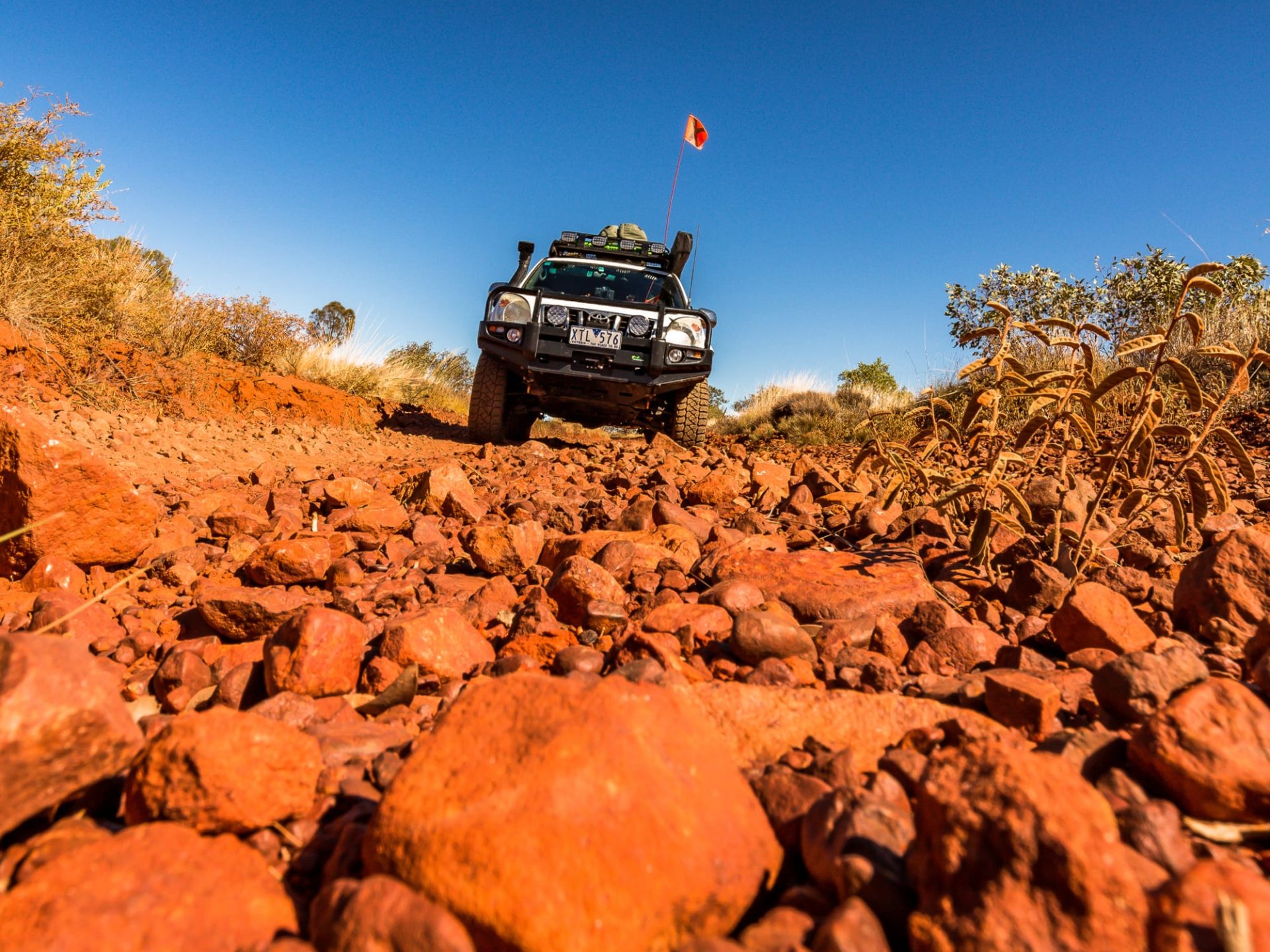
The north-west of Victoria is – as far as tourism goes – no-man’s land. The world for most travellers ends at one of the state’s biggest icons, the Grampians. North of its sandstone mountains lies a world only visited by dedicated 4X4 enthusiasts or nature lovers. We venture into this forgotten corner of Victoria to drive from Horsham to Mildura, avoiding main roads wherever possible.
What we discover is an area of stark contrast. Intense and vast agriculture coexists without buffer with the dry mallee wilderness preserved in various national parks. There is no direct route presenting itself for a trip through north-west Victoria. It is a matter of connecting the dots, hopping from national park to national park. These reserves, most of them only accessible by 4X4, spread like stepping stones throughout the area.
Horsham sits on the edge of flat land with big sky and an endless horizon. And yet, our first port of call is a vertical world: Mount Arapiles, a massive quartzite rock outcrop just northwest of the Grampians. It is a Mecca for rock climbers. More than 3000 routes from easy to impossible lure climbers from all over the world to this outcrop. The broad mountain sits like an island right at the edge of the plains of the Wimmera. It is the beginning of Victoria’s Outback.
Although Mount Arapiles is a paradise for “goats”, as rock climbers are labelled here, non-climbers can also access the mountain by driving to a lookout on the top. From there the view north goes out over an immense expanse of land. We see round salt lakes and clay pans, and the strange symmetry of agriculture dissected by straight roads, but most of all the flatness of the surrounding land fascinates us.
In 1836, explorer and surveyor Major Thomas Mitchell also stood where we now stand. He saw the plains of Victoria’s north-west as “one of the most barren regions of the world”.
Within this marginal region lies Little Desert National Park. The reserve compensates for its lack of visual drama with an extraordinarily rich fauna and flora. More than 670 plant species and more than 200 types of birds have been recorded in the park – including the elusive mallee fowl. Our first stop in the park is Horseshoe Bend on the eastern fringe near the town of Dimboola. Here, the Wimmera River coils so tightly that only a few meters of land separate its waters. It is a popular place with a large campsite shaded by river gums. Along the river, sandy beaches invite a cool dip in summer. Middens containing the shells of freshwater mussels and scarred trees prove that Aboriginal people lived here for thousands of years.
Then it is time to hit the dirt and take our trusty Pajero through its paces, following some of the tracks through the Eastern Block of the park from Horseshoe Bend past Eagles Swamp and Salt Lake to the Little Desert Lodge. It is a journey through an extraordinary variety of vegetation types – from large river gums along the Wimmera River to bushland dominated by grass trees to low heath. Contrary to its name, the national park does not have the appearance of a traditional desert – despite only receiving between 200mm and 400mm of rain a year. Along the way, deep sandy tracks challenge us a little and add spice to the drive. Our aim for today is the popular Little Desert Lodge just outside the park’s northern boundary, a destination for all those who want to see the elusive mallee fowl close-up.
Continuing north, Wyperfield National Park comes next. We traverse the park, wander through the extensive sand dunes at Snowdrift and take in the enormous mallee expanse from the Eastern Lookout.
Only a narrow corridor of farmland left and right of the Mallee Highway divide Wyperfild National Park from the vast Murray-Sunset National Park, which – with 633,000 hectares – is Victoria’s second largest national park. There
we make camp near the Pink Lakes
– a cluster of salt lakes and clay pans. The next morning we set out to explore the lakes. The thick morning mist is slowly lifting, giving the sun the upper hand. Still a diffuse, hazy ball, the sun is mirrored in the water that covers parts of Lake Crosby after recent rain. Then nature puts on a strange display. The low sun projects a perfect half circle on to the moisture-laden early morning air. Unlike a normal rainbow, however, there are no colours, just a white arc spanning over the lake. Along the shores of the lake, a band of dark red algae forms a surreal frame.
The main source of water in the Pink Lakes area is highly saline groundwater that seeps into the lakes in winter. In the hot and dry summer months, the water evaporates, leaving behind a crust of salt.
Water from an entirely different source fills lakes in the neighbouring Hattah-Kulkyne National Park. With this park, the green corridor of the Murray River is reached.
Connected to Hattah-Kulkyne National Park is Murray-Kulkyne Park with its forests of river gums. The eastern border of the reserve is the winding Murray River. We follow 4X4 tracks that lead to its banks and give access to sections of the iconic river that appear almost untouched. From the park’s northern end, it is only a short hop to Mildura. Just outside the reserve begins what makes the area around Mildura so famous: Citrus orchards and vineyards. The waters of the Murray River are also the lifeblood of a vast irrigation area here. Beyond this artificial oasis, however, Victoria’s arid outback rules again.
Words and images: Don Fuchs video: Richard Monks
___________________


