Advertisement
Wet the wheels on your 4X4, just out of Brisbane
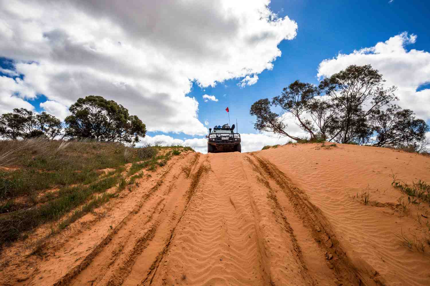
Day trip or weekend, Cambanoora Gorge and surrounds is a top spot for the family. About an hour and half from Brisbane will find you engaging 4WD and crossing one of the headwaters of the Darling River 14 times in as many kilometres. Orange and grey cliffs tower above you as you enter the gorge which is also known as the Condamine Gorge.
Although the crossings can be too deep after heavy rainfall, they are normally around knee deep which is perfect for high-clearance 4WD vehicles. The conditions can change quickly with large storms dumping a lot of rain over the area in a matter of minutes.
The tornado
One particularly large storm in November 1968 included a tornado that ripped through Killarney on the western edge of the gorge, killing one person and destroying 247 houses. Original 8mm film footage can be seen here.
There have been a number of rescues recently so definitely keep an eye on the weather. One of the crossings is named after Andrew Evans who drowned while crossing the flooded Condamine with his bullock team. His ghost is said to haunt the area but some locals also say they have seen bunyips in the area… so maybe don’t believe everything you hear.
The Gorge
Advertisement
The track that follows the river through Cambanoora Gorge was used to cart timber down to Killarney and then on to Warwick and beyond in the late 1800s. Although there are still patches of dense rainforest in the region, much of the timber has been removed to reveal lush green fields for grazing stock. The Head was first seen by Europeans in 1840. They marveled at how rich the land was and how close it was to the new settlement at Moreton Bay.Prior to white settlement, the area was inhabited by the Gidhabal people who would travel to Moreton Bay to fish; and also up into the Bunya Mountains to feast on bunya nuts every few years.
Downstream from Killarney there is a large scar tree where the bark was removed over 150 years ago to build a bark canoe. In the late 1800s a stockman discovered a ceremonial bora ring near Killarney which had paintings of the local animals, but surprisingly also the depiction of a sailing ship. The last ceremony held there was in 1858 and, with the chequered history of white settlement, little remains of the original population.
Advertisement
The road directly up to The Head from the north is bitumen but very steep and winding, so it’s not suitable for caravans or trailers. If towing you are best to use Carney’s Creek Road which is dirt and quite scenic as you climb the range before crossing the NSW border at the now unoccupied border gate. As you cross back into Queensland you are reminded that you should leave your rabbit at home, else you will be fined $44,000.
The crossings
Entering the Gorge from the north is a spectacular feast for the eyes, particularly in the early morning as the cliffs light up and seem to close in above you. The crossing names in the east are the least imaginative with the obvious First Crossing and Second Crossing.
Perhaps ‘they who name’ are waiting for something ‘exciting’ to happen. Further down the gorge, Mawhirt’s Crossing is named after Mr Mawhirt who had the misfortune of watering his horse when a large branch fell from a tree above, breaking his leg. Maybe it’s best not to have a crossing named after you.
A pub lunch and some camping
After a trip down the gorge, the Killarney pub serves a pretty good counter lunch. There are a couple of options for camping if you are planning an overnight stop. The first is across the road from Queen Mary Falls and is privately run with a small café adjoining the campground. The Falls are definitely worth checking out. At 40m high, the Falls drop vertically down to broken rocks and boulders below. The walk to the viewing area at the top is only 400m return and the walk to the base of the falls is a circuit of 2km along a graded track.
If National Park camping is more your style, continue heading east after Queen Mary Falls and turn right to cross back into NSW and on to Koreelah NP which is nearby, off White Swamp Road. The campground at Koreelah has only a small number of separate sites but they are large so a couple of families could occupy one site and share the fireplace.
The grassy campsites are set amongst tall gums near the creek. You may be lucky enough to spy a shy platypus cruising the creek in the early morning as it searches for a meal. A few hundred metres downstream from the campsite is a large rock pool with waterfall, lined by small rocky cliffs. This would be a perfect spot to swim in summer but the water would be cold in winter. Further exploration down the creek would be fun if the water level was on the low side.
Verdict
Cambanoora Gorge and surrounds provides a perfect
playground for all the family, all year round. It’s not far from Brisbane but it has that far-away feeling. Just don’t bring your rabbit.
Destination details
Nearest town: 10km east of Killarney.
When to go: Any time of year but not when there are storms about.
Accommodation: Camping at either a private campground at Queen Mary Falls or Koreelah NP where there are pit toilets, tank water and fireplaces.
Difficulty: High clearance 4WD through the Gorge.
Further info:
npsr.qld.gov.au
Advertisement