Advertisement
Why this place may actually be better than The Flinders
Many visitors to SA’s north make a beeline for the magnificent Flinders Ranges; and rightly so. But often the fixation on one of the Croweaters’ best-known locations can overshadow other spots which, whilst different, are more than deserving in their own right. For those cracking west at Port Augusta, visiting the Gawler Ranges National Park can be a unique experience offering spectacular landscape and rock formations integrated with a rich history and natural wildness whilst maintaining (most importantly) some excellent 4WD tracks.
Having first visited the region west of ‘The Gutta’ over 50 years ago as a wide-eyed young’n spending the Xmas school holidays with a cousin who was working on a property out of Warramboo, not too much seems to have changed except the quality of the black strip that is the Eyre Highway disappearing into the western horizon. Iron Knob rises and then gives way to a relatively flat landscape which morphs into cereal crop country. In bad seasons the region is a red dust bowl but right now it’s unbelievably green with virtually every paddock as far as the eye can see swaying with young crops – daring the farmers to dream of a big-yield season. Unique Aussie town names like Kimba, Kyancutta, Wudinna and Minnipa abound and all inevitably have towering grain storage silos casting shadows.
Eyre Peninsular had Flinders chart its shore in 1801-1802, and Edward Eyre hugged the coastline as he crossed the Great Australian Bight 40 years later. Eyre slipped back to have a squiz around the Gawler Ranges in 1839 – naming them after George Gawler, the Governor of SA. The first pastoral property, Paney, was taken up in the early 1850s but it was Andrew H Wooldridge and John Hirst who successfully farmed it… especially after finding good water. By 1864 it had become so busy that a police camp was established near Old Paney Homestead to keep the boys under control; and things improved even more with the building of a vermin-proof fence around the Yardea, Thurlga, Paney and Pondanna stations (and a section of Mt Ive Station). James G Moseley absorbed Paney into his Yardea property in 1904; and in 2002 the original Paney Station, along with Pine Lodge and a section of Scrubby Peak Station, was proclaimed as the present-day Gawler Range National Park.
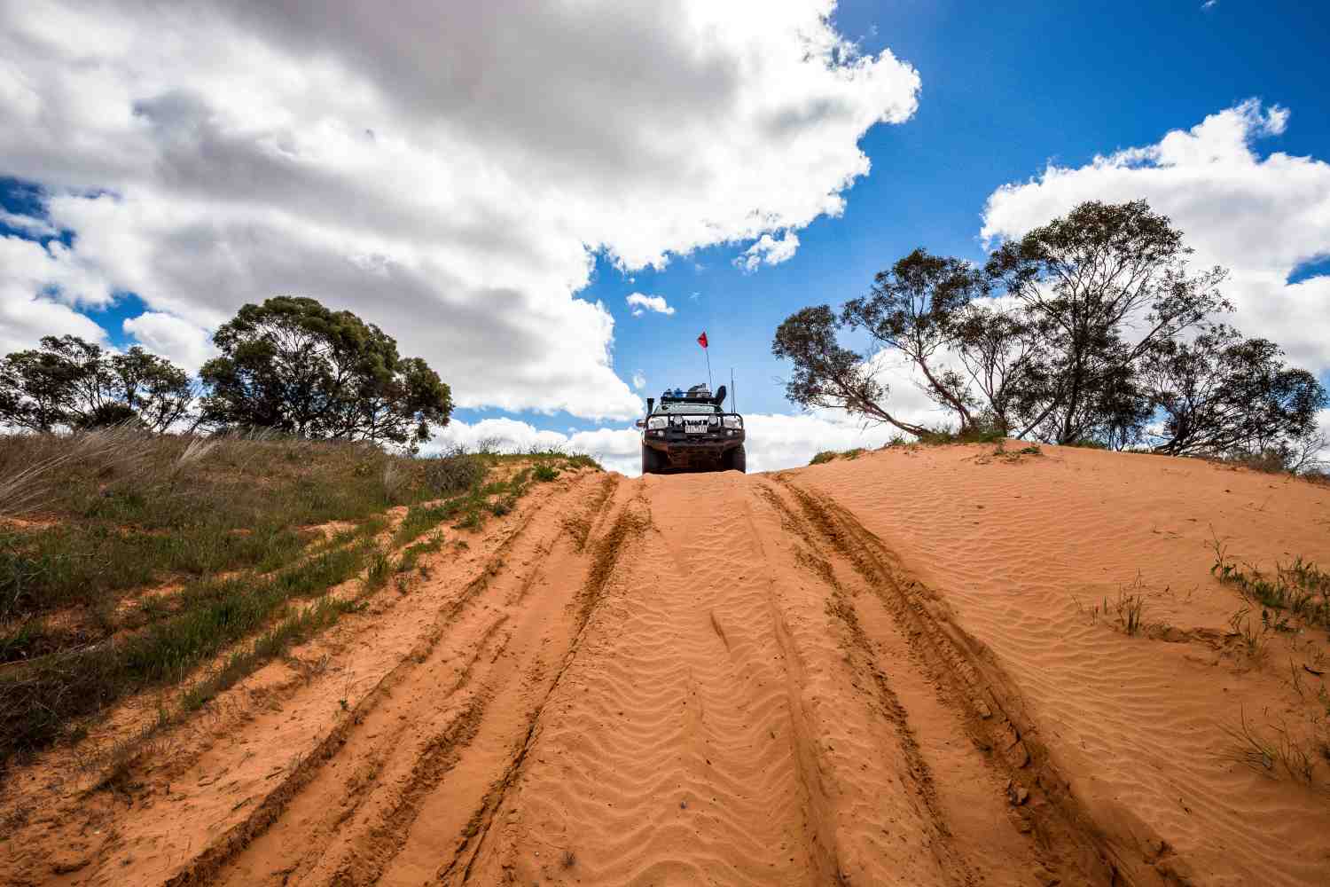
Located in the southern section of the range, the Park is readily accessible from the Eyre Highway via Kimba, Wudinna or Minnipa. Bitumen quickly gives way to dirt and the welcome sound of rocks flogging into the Defender’s metal guards is music to the ears as green farming country disappears and rough dry Mallee country soon abounds and the harshness of venturing north becomes self-evident. But when the ranges are reached, everything changes again. The harsh surroundings are replaced by rolling hills, wide grassed plains, rocky gorges, deep gullies and seasonal waterfalls… making for a wilderness just begging to be explored.
Coming in from Kimba, the Park is entered at Paney Homestead Woolshed and Shearers Quarters and, as we know, it is impossible not to have a decent look around an old woolshed. Whilst the ragged yards are a bit worse for wear, the shed is in great nick and it’s not hard to imagine the hustle and bustle that would have prevailed when six shearers were in full flight back in the day. We must give the brown shirts of SA a plug, as the information pack at the Self Rego Hut is excellent. Printed on sturdy paper designed to survive a decent off-road trip and way too thick for use in the outhouse, it explains the Park features in detail with excellent info on the seven different camping areas (and a top map).
One thing is for sure, the Park has more attractions than you can shake a stick at. But it is the unique volcanic rock formations, commonly called organ pipes, which make it really special. They are in fact volcanic rhyolite – formed after a volcano eruption some 1,500 million years ago. Ash and lava created solid rock up to 1,500 metres thick, which (after the cooling) formed the organ pipes. As a result of softer areas of rock eroding over the millions of years, The Organ Pipes, Kolay Mirica and Yandinga Waterfalls have formed… with the vertical columns a spectacular and distinctive feature. Yandinga had a small flow on our visit and a hike up the falls to multiple rock pools was be a smash hit with kids of all ages (even the bigger and older ones).
Advertisement
The incredible grassy plains clearly indicated a good season. This was confirmed by the number of kangaroos, wallabies and emus on display. Big ’roos were everywhere, literally under every tree, but it was the large number of emus which really got our attention. At one stage a flock of 18 were feeding and as we waited they approached the vehicle instead of racing off like headless chooks. Later we came across a huge Southern Hairy-nosed Wombat sitting on top of set burrows who was happy to pose for photos… just not close-ups. The locals generally seemed pretty comfortable.
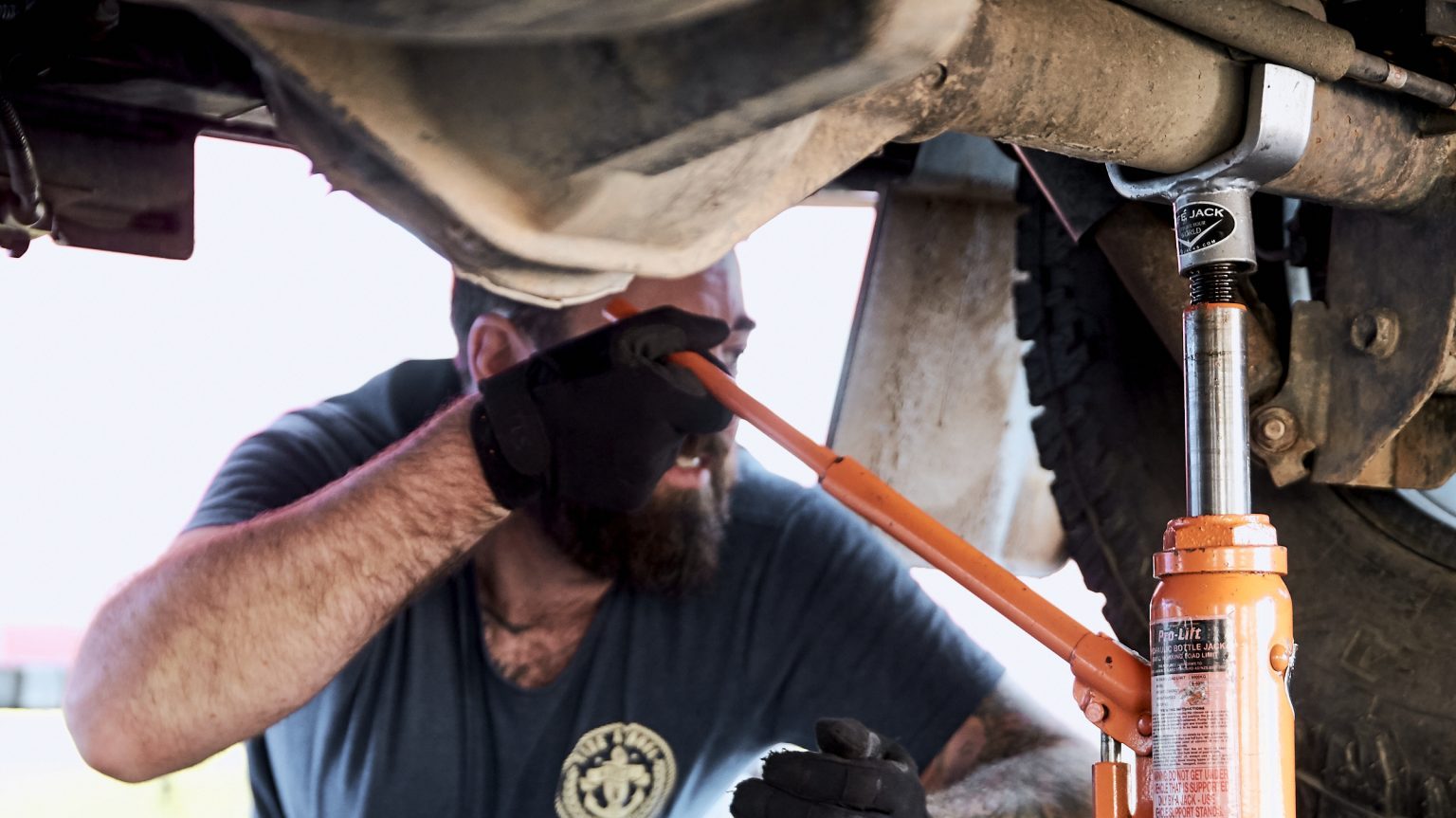
Whilst in dry weather a 2WD can access the Park and use the Old Paney Scenic Route, a 4WD is strongly recommended for the rest of the Park and we would certainly agree with that assessment. Any rain would be a little lever imperative, and the lesser tracks demand it. Whilst not low-range crawling, these tracks certainly provide entertainment with washouts and jump-ups aplenty; and they’re rough enough to keep the driver smiling. Because after all, that’s why we are here.
Advertisement
Old Paney Homestead has been restored and is open to the public, resulting in a tremendous place to have smoko seated at the table in the kitchen. The thick stone walls keep it cool in summer – which would have been pretty important when William McKenzie and his wife Jessie lived in the homestead with their 11 children. William managed the property in the 1880s and ’90s for William Crawford, who held a total of 1,400 square miles (3,625 square kilometres) in the Western Gawler Ranges. The old wood stove had recently been fired up, and no doubt it would still manage to keep a large family fed.
Friends of the Gawler Ranges National Park spent six years restoring Pondanna Homestead and outbuildings and have done a fantastic job saving an important part of the region’s history. The homestead was built in 1916 to replace the original pine and pug building. This really is a place to stop and spend time checking out not only the homestead but also the chaff shed, implements shed and the numerous pieces of old farming machinery. The original in-ground stone-walled water tank is particularly interesting as it features a sink well to trap rubbish from entering the tank. Ingenious stuff from pioneers for whom water was a life or death commodity.
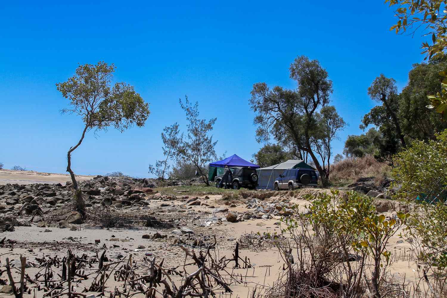
We found the two campgrounds we stayed in to be first-class. Plenty of fire pits with swing-away hotplates, good sized flat camping areas nestled between the trees, and a new single dunny.
Enough comfort without the over-regulation which is sadly typical in many Parks. Another pleasing aspect was that the campgrounds had been pretty well respected with visitors removing their rubbish, leaving the sites clean for the next travellers. Top stuff.
Other features worth a trundle are the stone dam, Policeman’s Point, Kolay Hut and Conical Hill. Seriously, there’s no shortage of things to do and see. We were lucky enough to visit whilst the wildflowers were in full bloom, with the Gawler Ranges Hop Bush and the Gawler Ranges Grevillea only being found in the Gawler Ranges. Spectacular stuff.
Gawler Ranges National Park really is an excellent destination with plenty of exploring and things to do and see to keep a family occupied for any school holiday; or provide a quiet, remote holiday for those with a bit of grey on the temples. As they say in the classics: “Be there or be square!”
Destination Details:
WHERE: The Park is situated in SA’s southern Gawler Ranges roughly six hours north-west of Adelaide.
HOW TO GET THERE: 40km north of the Eyre Highway with access from the south via Kimba, Wudinna or Minnipa. From the north, turn south onto the Minnipa Road at the Kingoonya Pub (after lunch and an ale, of course) and it’s approximately 250km past Moonaree and Yardea stations.
CAMPING: Seven really great campgrounds to choose from. Plenty of room and privacy. New one-holers for your sit-down pleasure at most camp areas.
Fire rings with swing-away hot plates are provided, but bring your own wood. Collecting firewood is a ‘no-no’ and please respect fire bans as this is a very dry part of the State. You need to be self-sufficient in the bush zones as no facilities are provided. Camping fees apply and can be paid at the Self Registration Huts; or if you are visiting a number of Parks there’s a range of Park Passes which can be purchased online at: parks.sa.gov.au
SUPPLIES AND FACILITIES: Best to be as self-sufficient as possible, as nearest supplies are at the towns on the Eyre Highway.
TRIP STANDARD: Degree of difficulty for most of the Park is easy; but beware of rain.
MAPS AND GUIDES:
The download map on the website is pretty good and it’s all you should need when in the Park: environment.sa.gov.au
Alternatively, grab the info pack at the Self Registration Hut which includes an excellent Park map and info on the various camping grounds.
The Hema SA State map will get you to the Park gate.
Advertisement