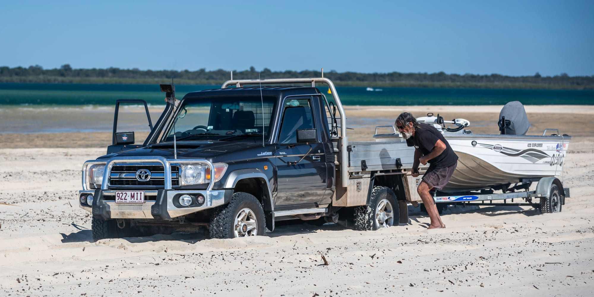
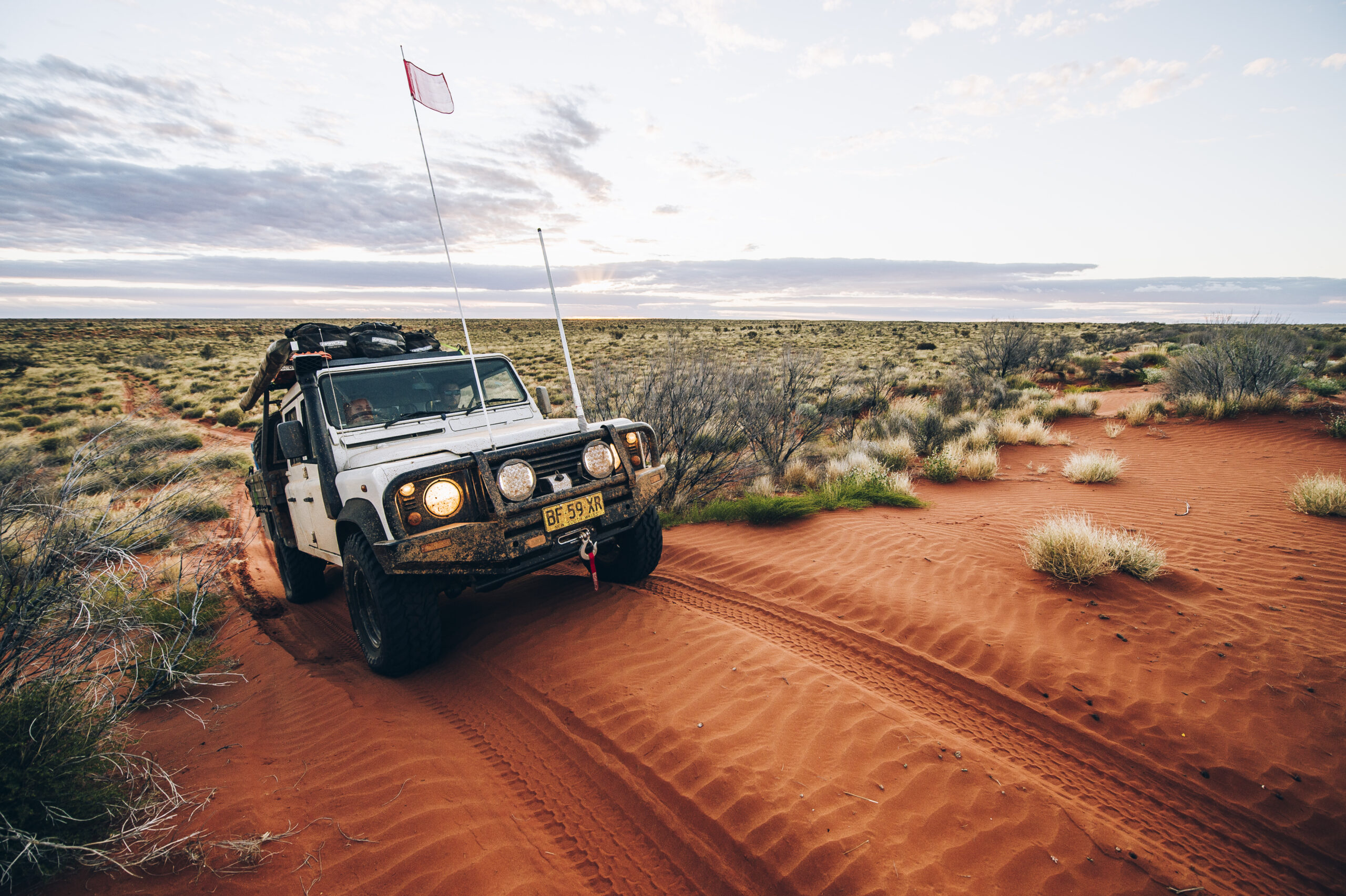
Well, it was until now… but you must promise to keep this information to yourself. I trust you.
“So, what is so secretive about this place and why are you telling us now?”
I am glad you asked because as I explored Wyperfeld National Park I wondered why it was never mentioned as a 4WD destination. Instead Little Desert and Murray Sunset National Parks get all the glory. Why, when two of the best 4WD tracks outside of the High Country dissect Wyperfeld National Park?
With the cat out of the bag, let me tell you why Wyperfeld is such an awesome 4WD destination.
Reason #1: Chinaman Well
It was bright and early in Nhill and I needed some supplies, so parked at the IGA and strolled to the door. I missed a face-plant by millimetres as the doors didn’t open! Bloody hell, isn’t it 9.00am already? Bugger me if it wasn’t 8.55am!
Following the bitumen out of town I headed north, past green fields covered with wheat stalks swaying in the breeze. It’s going to be a good crop this year, welcome rains providing plenty of water. On reaching the T-junction with Netting Fence Road, I turned left and then made a quick right onto the well signposted Pella Track. Tyre pressures were promptly reduced to 20psi as the deep sand started immediately – this is what it’s all about.
It’s slow going along Pella Track, a cracking track in itself. The sandy undulations keep speeds down. According to my Hema Explorer, it took me an hour to travel the 16km to Chinaman Well. I did get to know if all my gear was tied securely – the ups and downs restricting me to second gear (lucky to reach 20kmh). Constructed by the Chinese during the gold rush days, the well was used as an important watering point as they trekked between the South Australian and Victorian goldfields. There’s a cage over it now to prevent fools falling in. The information board has disappeared.
Reason #2: Chinaman Well Track
A short drive from the well is Chinaman Well Track that heads west, concluding on the Murrayville Track 32km away. In between is fantastic sand driving and some exciting steep dunes to cross. Edward John Eyre travelled a similar route in his attempt to travel west to the new colonies of Adelaide in 1838.
I nearly ended up with a trail bike rider as a hood ornament as I crested a dune. I’m not sure who was more startled, but my GoPro captured it all. It turned out there were 14 more bikes following plus three support vehicles. The bikes didn’t have any comms so I reversed down the dune, pulled over to a safe place and waited.
It took 20 minutes for everyone to pass before I could proceed along the track. It had been severely carved up by the bikes and support crew – especially on the western sides of the dunes – so my speed was further reduced. Two hours of entertaining sand driving later, I reached the Murrayville Track.
Reason #3: Milmed Rock Track
I travelled the 20km north along the Murrayville Track at a snail’s pace; my tyre pressures were still low. Murrayville Track is maintained but can be impassable in the wet. The Milmed Rock Track is 62km of deeper sand, taller dunes and plenty of corrugations. Your 4WD skills will certainly be tested; east to west is the most difficult direction.
It’s slow going to Pigeon Springs – a small camping and picnic area. Next stop is Milmed Rock. It’s a great place for a photo opportunity atop the small sandstone outcrop with a visitors’ book that’s well worth signing. Nearby is Milmed Swamp that contains several campsites protected by Cypress Pines. The wildflowers were blooming after recent rains and the whole scene was breathtaking.
The challenging route continues, the track bordered by low-lying heath and Blackbox gums. Arnold Springs is perfect to stretch the legs or have a kick of the footy on the open plain.
Past here, the dunes grow in size and difficulty. When the weather’s warmer and the sand softer, this section is an outstanding challenge. Even now momentum was sucked from my tyres by the dense, thick sand. Some of the dunes have chicken tracks on the eastern sides – a testament to difficulties some drivers face.
Round Swamp campground is a great place to base yourself if you’re doing Milmed Rock and Chinaman Tracks in one day. Tables, fire pits and a pit toilet sit nestled amongst the gum trees. Pushing on, I was exhausted by the time I completed the challenge upon reaching Pella Track. Time was against me so I endured 50m of blacktop to reach Hopetoun, with free camping on the edge of Lake Lascelles. This is one of the best free camps in Victoria. It was a good place to be when the rain hit. A quick set-up and a hot dinner were enjoyed before hitting the swag early… falling asleep as soon as my head hit the pillow.
Reason #4: Snowdrift
Snowdrift? I’m in the desert region of western Victoria, not the High Country! Up early, the first raindrops landed as I rolled up the swag. Thankfully, the rain didn’t last long and I packed up before hitting the amenities. A solid downpour thundered on the corrugated roof as I enjoyed a hot shower. With a gold coin donation, free campers can utilise the flushing toilets and hot showers. The camp kitchen, however, is reserved for guests staying in the adjoining Mallee Bush Retreat.
As the clouds were replaced by sunny blue skies, I reached the northern section of Wyperfeld. I spent some time in Patchewollock checking out the silo art before continuing into the northern section of the park, following the signs to Casuarina Campground. The camping is nicely spread out amongst pine-buloke woodland with tables, fire pits and a clean drop toilet. The wildflowers were everywhere; it was a magical spot for a cuppa.
I retraced my steps along the Meridian Track to Nine Mile Square Track. The sandy track twists its way between the pines before turning onto Racecourse Track. After crossing a couple of beautiful dunes, I was driving on Lake Agnus – an old lake bed that hasn’t seen decent water in generations. O’Sullivan’s Pine Plains Lodge is hidden amongst the gums on the left – a great place to base yourself so you can fully explore Wyperfeld and then sleep in absolute comfort.
After checking out the old stockyards I followed the signs to Snowdrift picnic area. I was amazed as the largest white sand dune in Wyperfeld appeared before me. If you’ve got the time and an adventurous spirit, the dune is perfect for sitting on an Esky lid, snowboard or piece of cardboard and sliding down the dune face.
Reason #5: Wirrengren Plain
As I followed the Wirrengren Track along the edge of the plain, I was awestruck by its massive expanse. Once a main aboriginal trade route, Wirrengren Plain was a corroboree ground for the Murray and Wimmera aboriginals. This flat, open plain that has only flooded once in the last 100 years stretches to the horizon and I imagined the cattle and sheep grazing on it peacefully. These days kangaroos and emus enjoy the vastness of this old lake bed… and there were plenty of them darting away as I drove past.
Words cannot portray what an amazing space Wirrengren Plain is. You have to see it for yourself. As the day grew long, I reached the junction with Gunner Track. Had I turned right, I would have returned to the lodge. But I turned left, heading towards Underbool and the Mallee Highway.
Wyperfeld National Park is an underrated destination for a 4WD, but you will have an absolute ball exploring it. Next time you have a few days up your sleeve and want to have a crack at some challenging sand driving, head to Wyperfeld – it won’t disappoint.
Destination Details:
REGION: North-western Victoria
NEAREST TOWN: Wyperfeld is located 450km north-west of Melbourne. Underbool has limited facilities (but it does have hot showers for $3) and Hopetoun has a supermarket, café, pub, caravan park and free camping around Lake Lascelles.
WHEN TO GO: The cooler months from April to September are the best times, but access may close after rain.
ACCOMMODATION: Within Wyperfeld there is free camping at Casuarina, Round Swamp, Milmed Swamp and the Snowdrift – each with pit toilets, tables and fire pits. Free camping at Lake Lascelles has BBQs, water, showers and toilets.
WHAT TO TAKE: A compressor and tyre gauge, tyre repair kit, firewood, food and water. Take out what you take in (except wood, of course).
DIFFICULTY: Pella, Chinaman Well and Milmed Rock tracks will test your 4WD skills. Some of the tracks in the northern section are suitable for 2WD vehicles, but most are 4WD only. When it is hot, the sand is harder to drive on.


