Guide to the Bridle Track – Why is this 4×4 track close to Sydney so popular, and where are the best places to camp?
The weather is warm, the holidays are here, and if you are looking for a four-wheel drive and camping adventure close to Sydney, it’s hard to beat the recently reopened Bridle Track. The Bridle Track in located just north of…
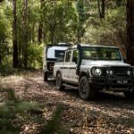
The weather is warm, the holidays are here, and if you are looking for a four-wheel drive and camping adventure close to Sydney, it’s hard to beat the recently reopened Bridle Track.
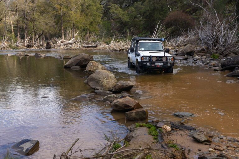
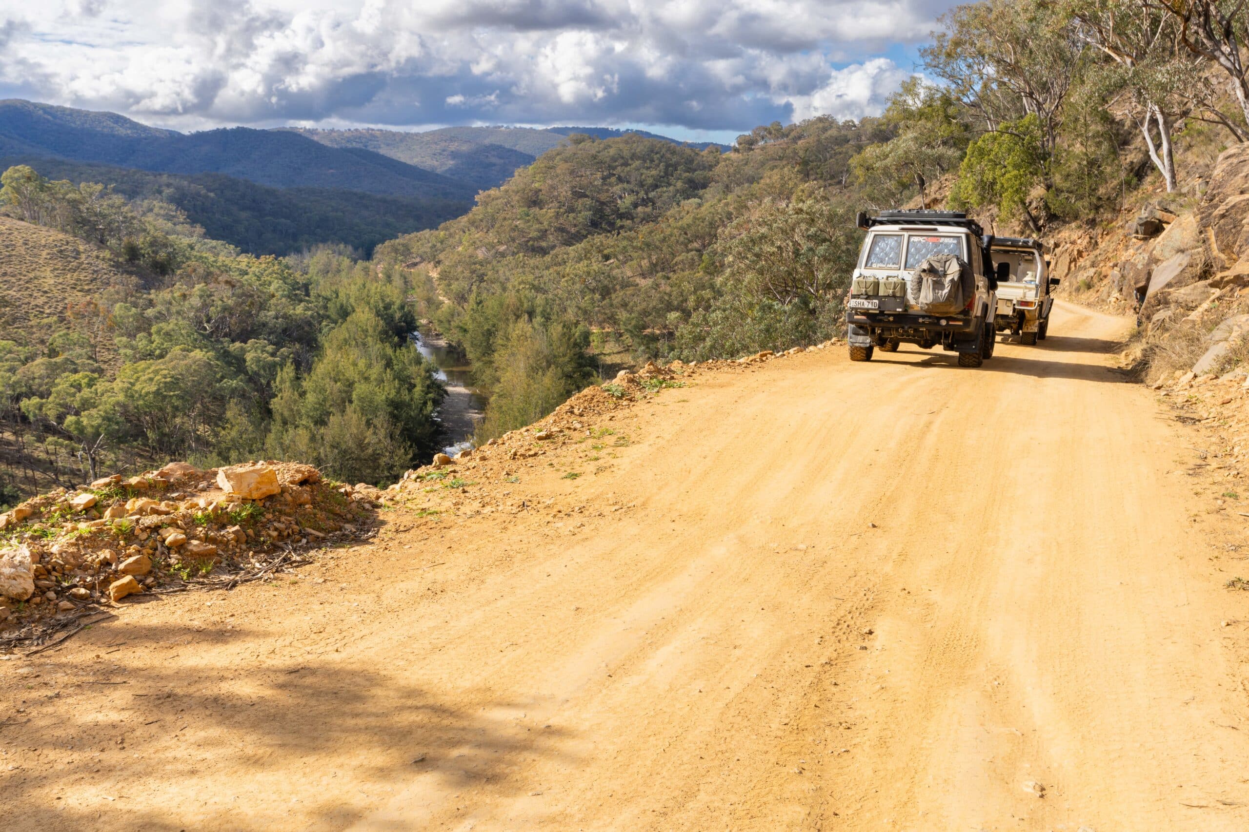
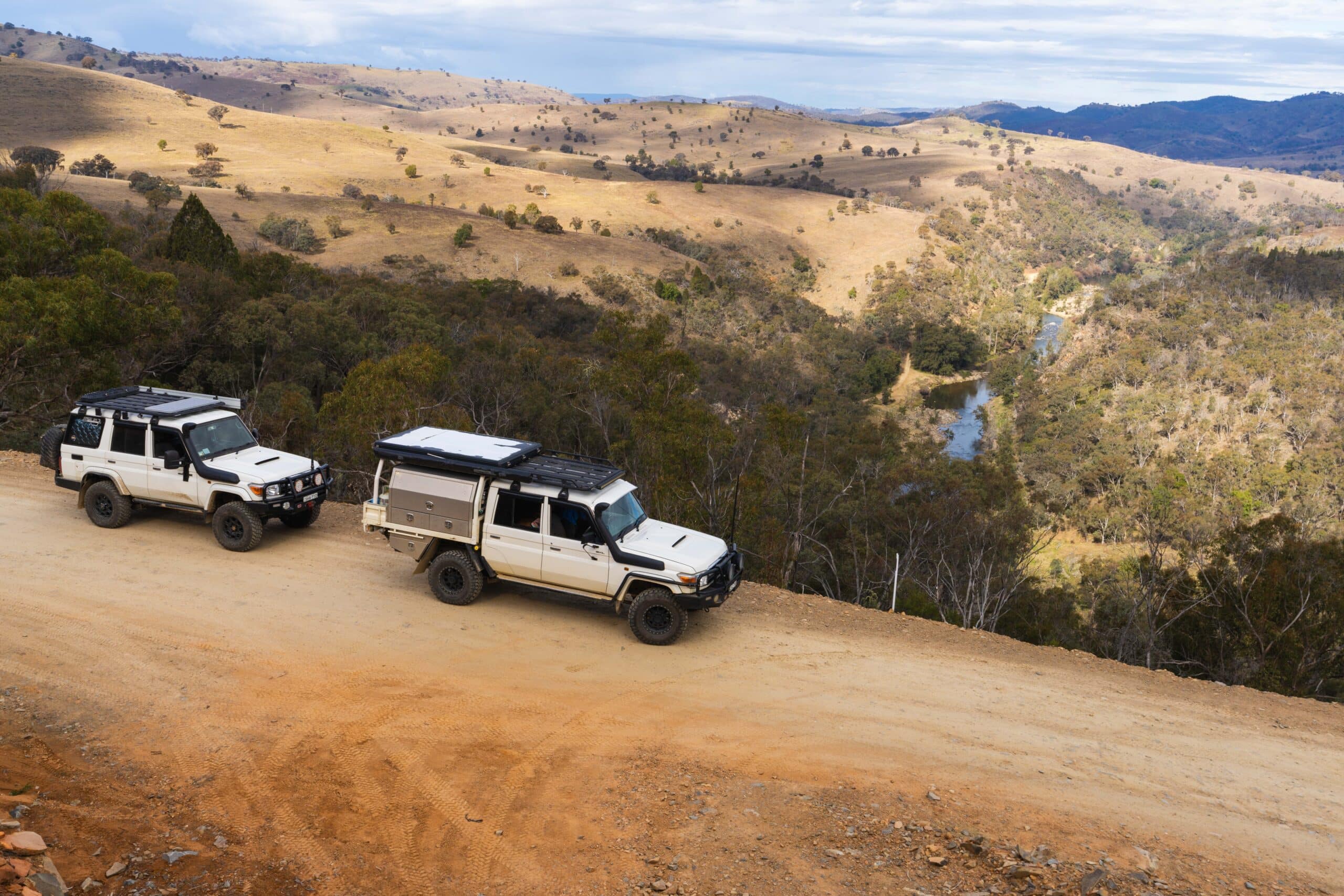
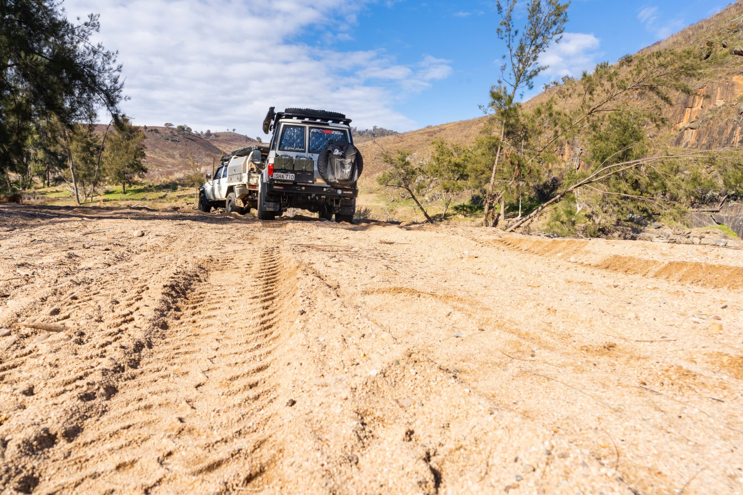
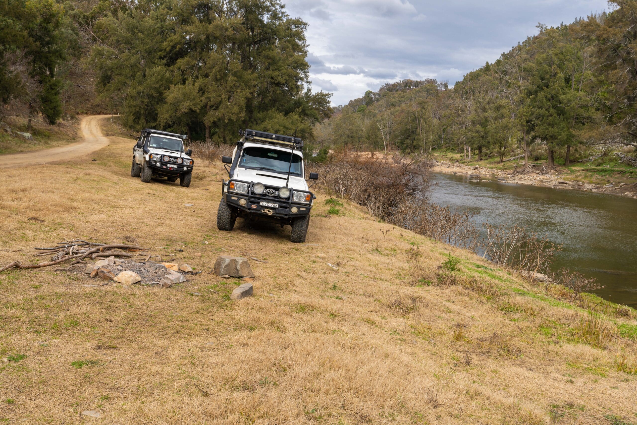
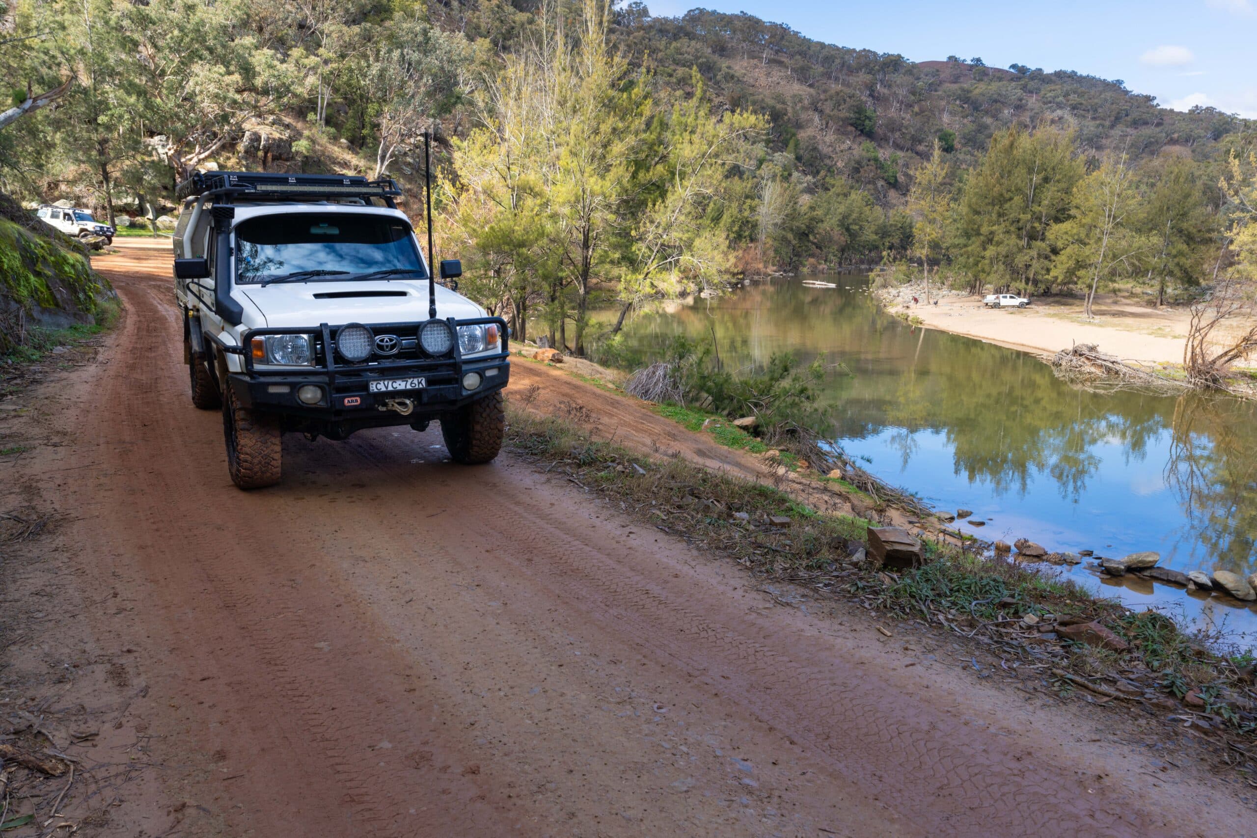
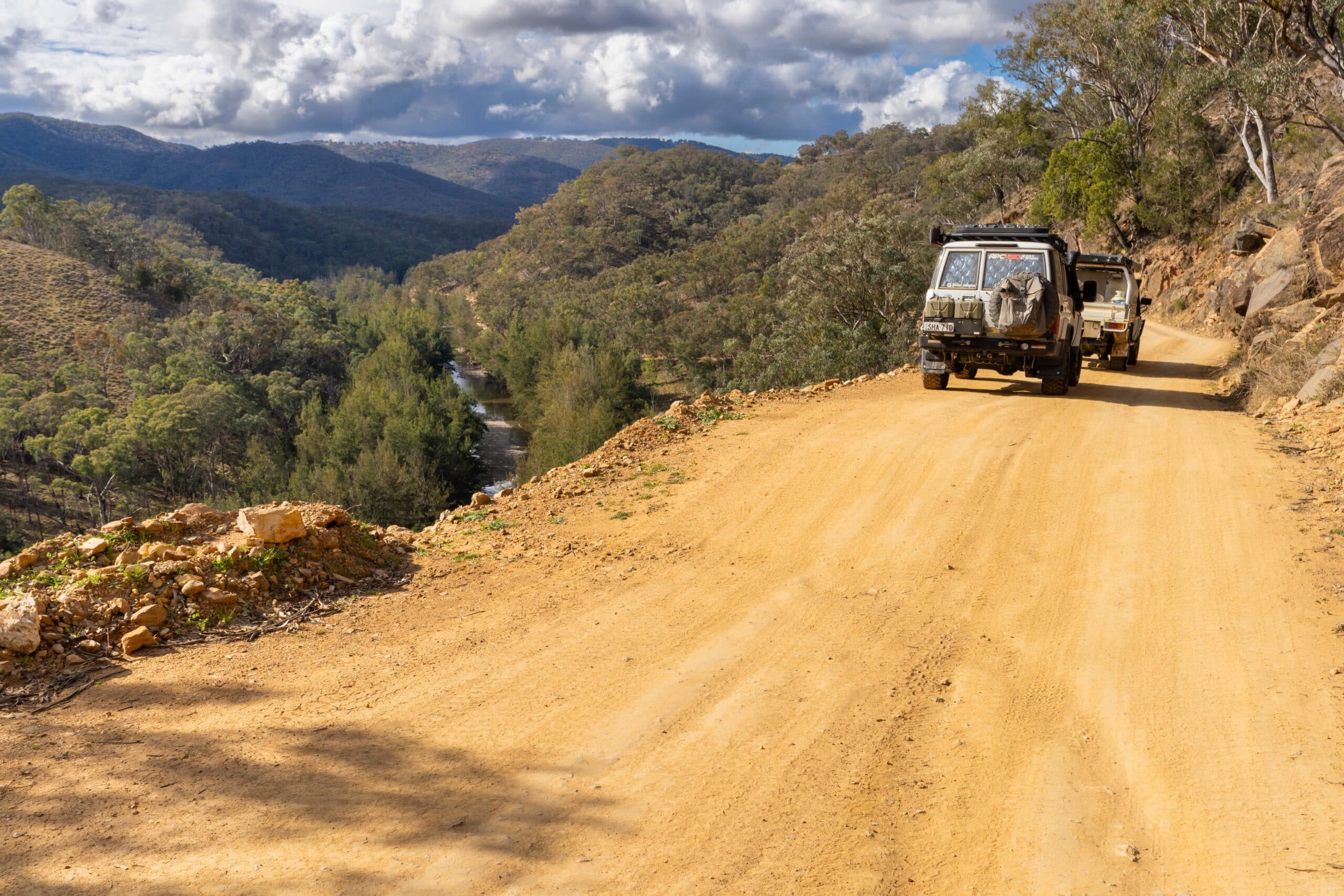
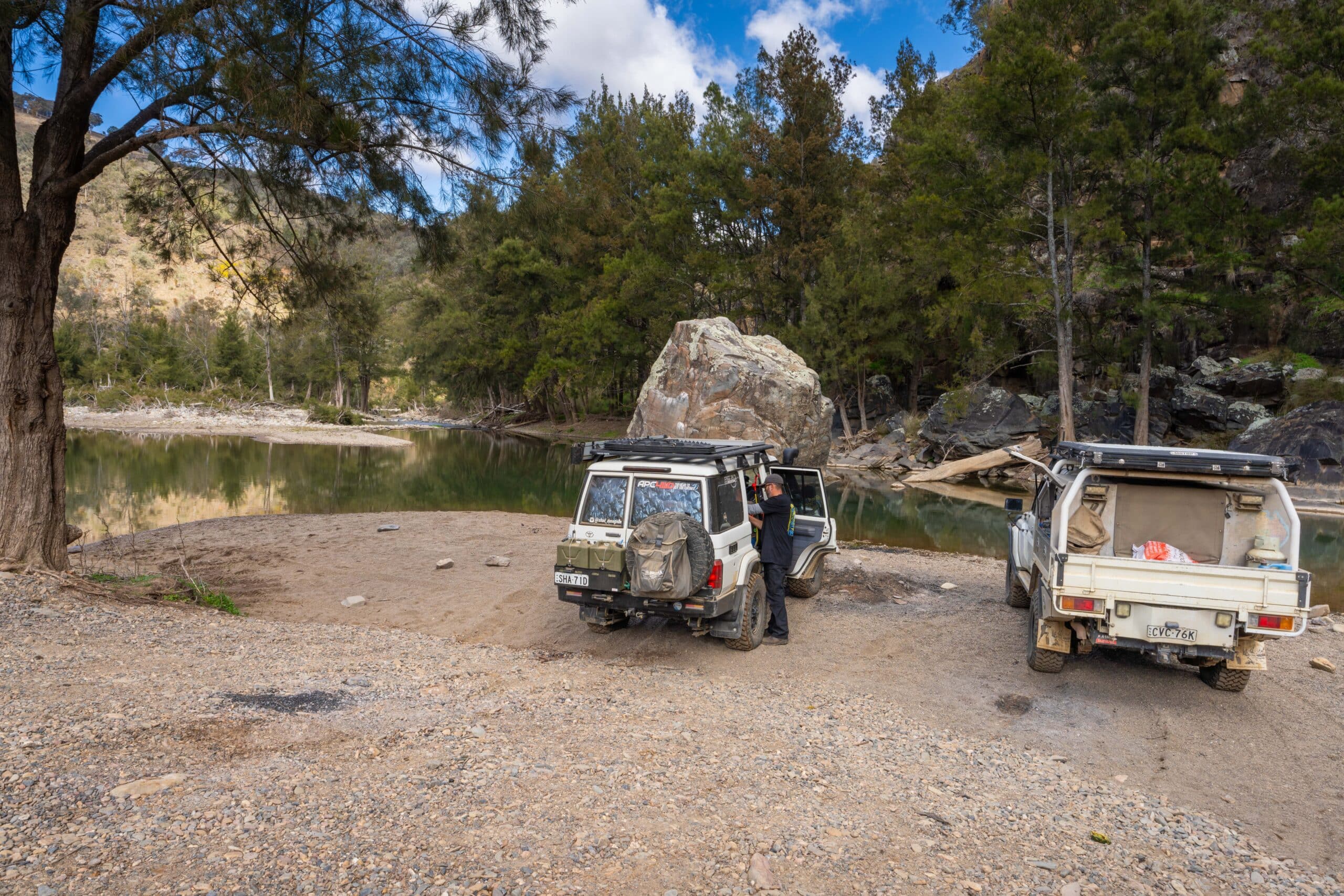
The Bridle Track in located just north of Bathurst and runs for approximately 50km through to the tiny town of Hill End. It’s the final 40km or so that interests us four-wheel drivers and campers. This is the portion of the track that follows the Macquarie and then the Turon River and has some of the best camping on offer.
The track was first opened in the mid-1800s as a shortcut for horses to link the mining town of Hill End with Bathurst without the need to go via Sofala. The story goes that the name comes from the fact it was so narrow, in particular through the north section, that horses had to be lead single file by the bridle.
At the time Hill End was a booming mining town and gold mines dotted the length of the track. With increased use came widening works in the 1870s and cutting of a track was up Hawkins Hill to allow passage by carriage.
Throughout this period a jaunt down the Bridle Track would have revealed mining camps lined along the river and vegetable plots built by the Chinese miners. At one point a pub (Braggs Inn) was located at the foot of Hawkins Hill. Some of these mines are still visible and able to be explored today.
In the early 1900s, the road closed several times due to erosion and washaways and mining slowed down. By the late 1930s, the road had become primarily a tourist route and was upgraded to be used for motor vehicles.
Track closure
Then in 2010, a catastrophic rock fall occurred at Monaghans Bluff and the track was closed again. The track at Monaghans Bluff was one of the narrowest sections and difficulties with trying to repair the track here made reopening it seem unlikely. A temporary solution was created in 2017 through the Root Hog Track but this still left the south end of the Bridle Track isolated to access from Bathurst only. Bathurst Council really picked up the ball here and began lobbying for funds to build a bypass around Monaghans Bluff and reopen this historic track. They succeeded and finally in early 2023 the track reopened for the first time in 13 years.
Good news – it’s been reopened
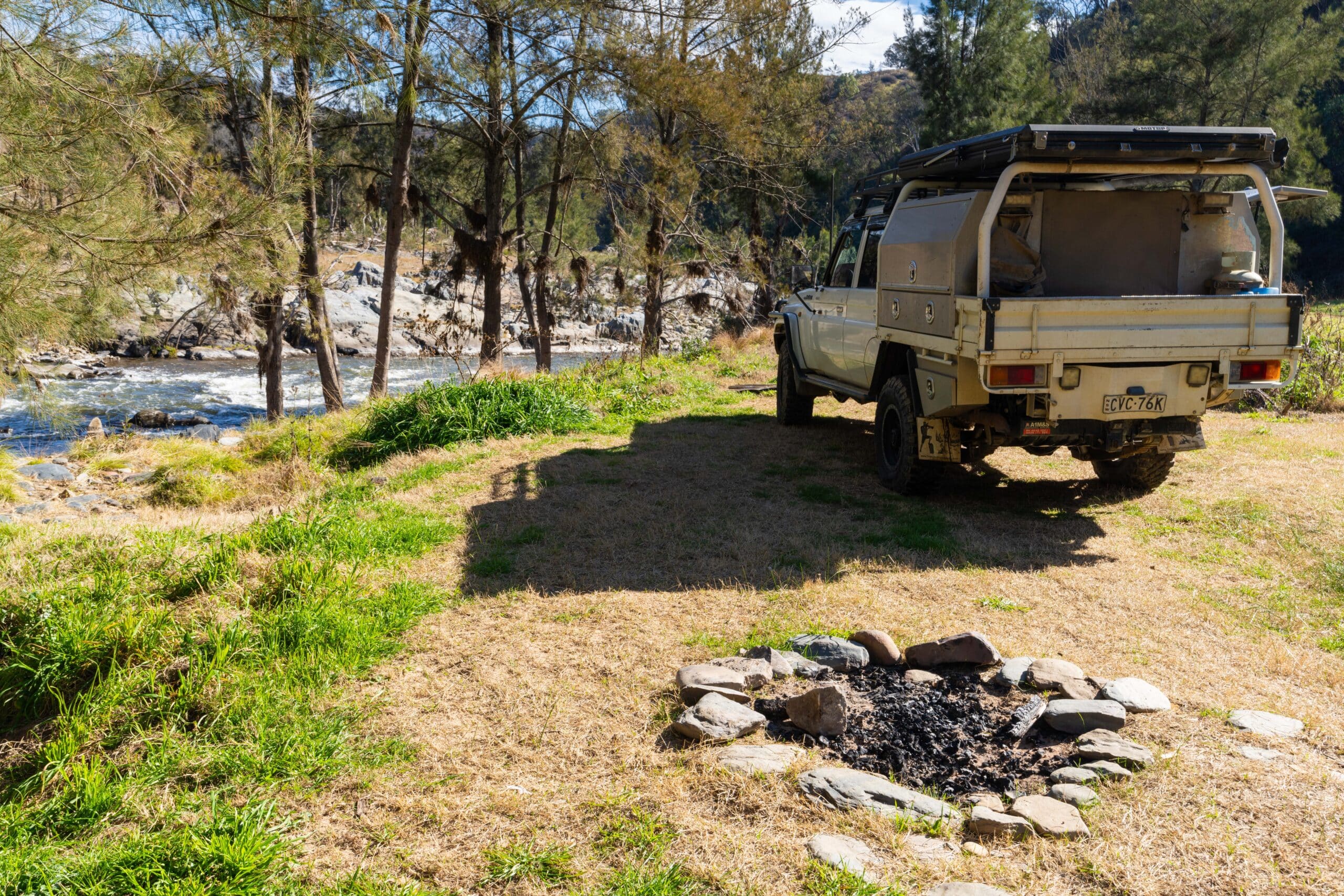
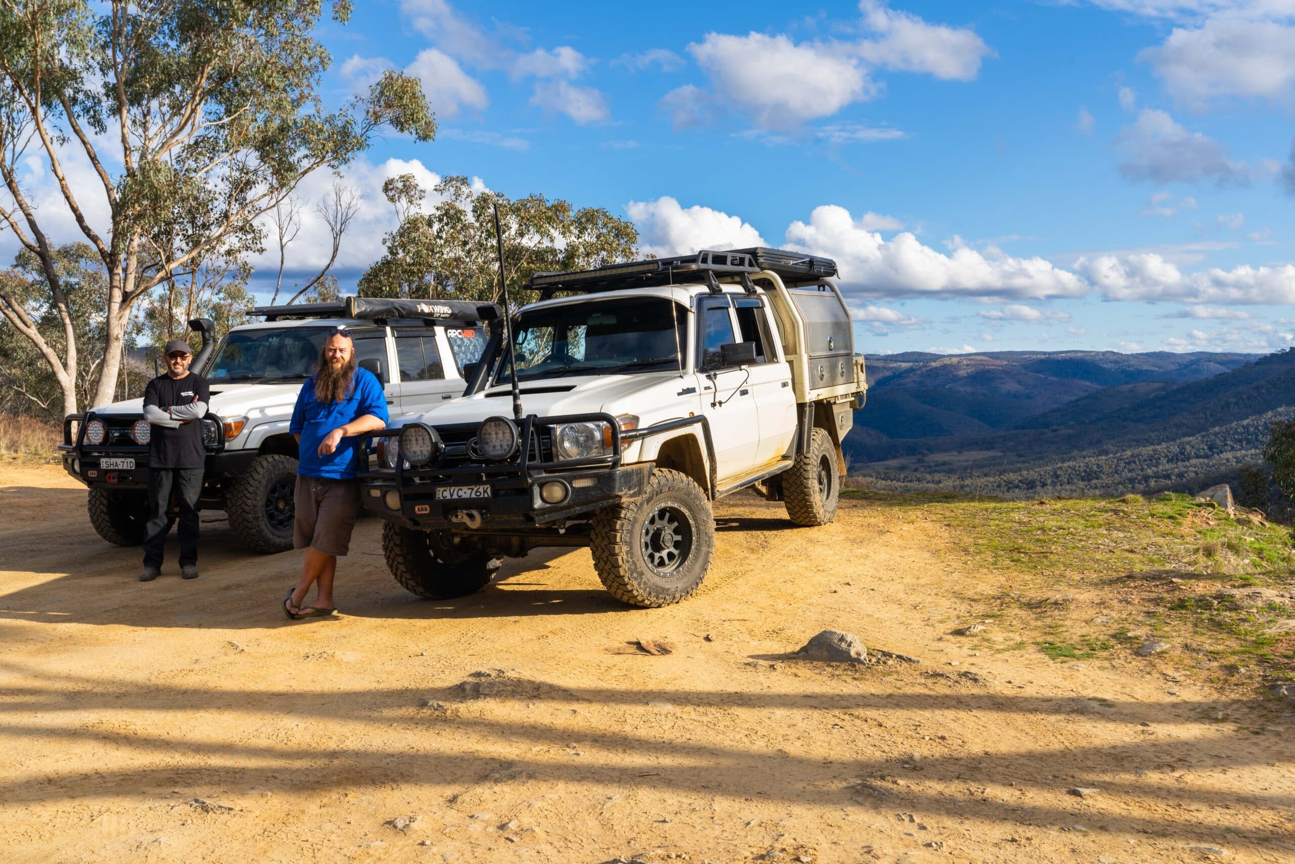
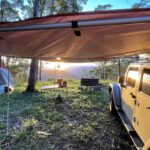
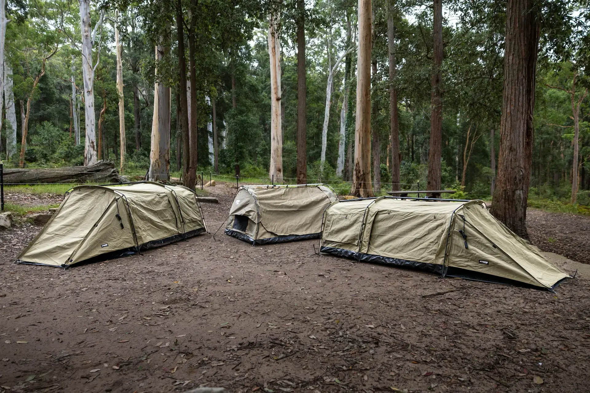
So, to commemorate this reopening we’ve put together a guide to the Bridle Track for all you eager campers and explorers who want to experience some of the history around the place for yourself. Now we have to acknowledge that signage does indicate that the road is unsuitable for trailers but plenty of people do tow trailers to some of the more accessible camps, so we’ve included whether campgrounds are suitable for camper trailers. Make up your own mind with this one.
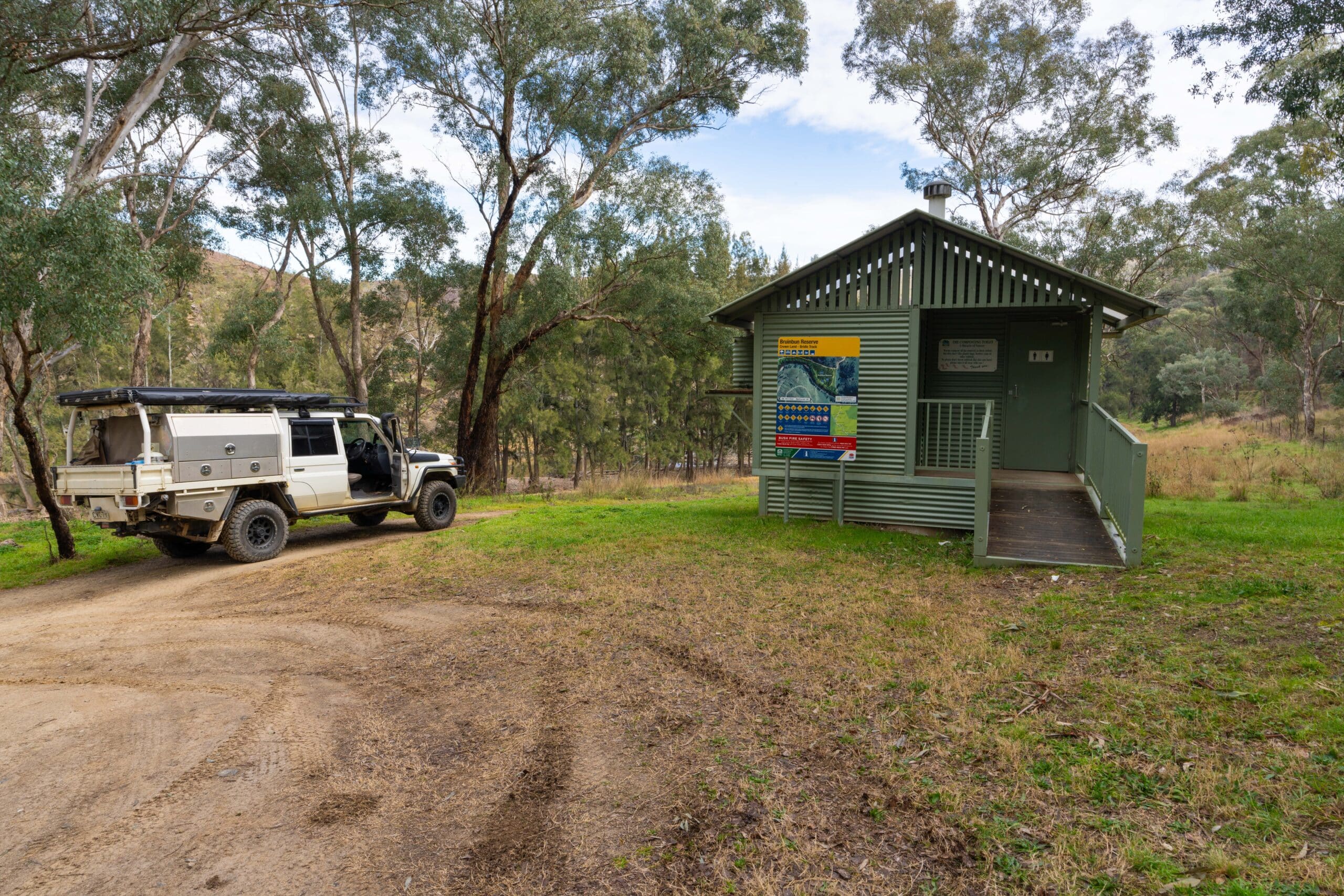
Bruinbun Reserve
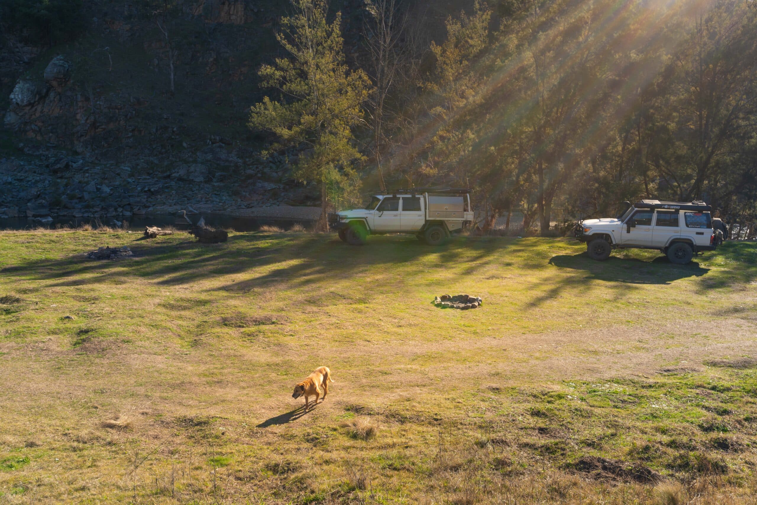
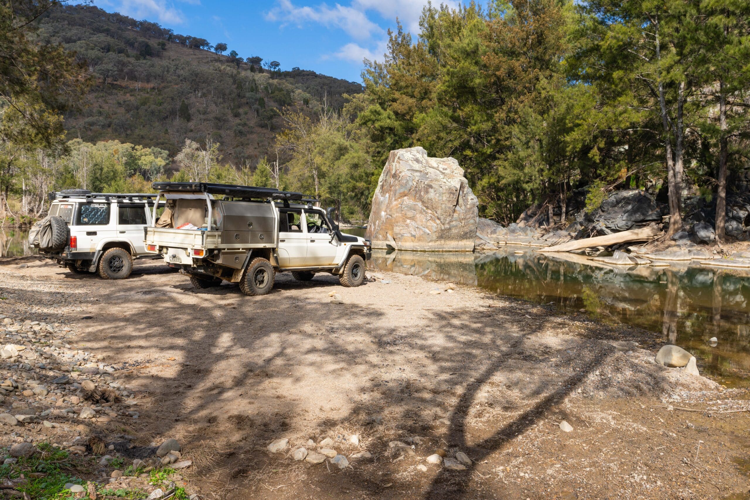
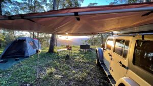
The southernmost campground on the track is the first you pass coming from Bathurst. The campground includes two tiers, which are both grassed. The upper level has views over the river and the bottom level has direct river access. It’s a large area suitable for groups.
Toilet – yes. Single plus disabled.
Swimming – shallow but enough for a cool down in summer
Fishing – yes
Tent – yes
Camper – yes
Vehicle Based – yes
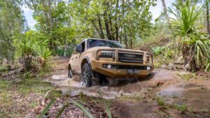
4wd required? – AWD
Amy Anderson Reserve
The next campground heading north includes two main areas with an upper grassed level by the roadside and a sandy lower area down by the river. The top level is easily accessible by just about all vehicles but the lower level includes soft sand and requires 4wd to access. The upper level would be suitable for groups.
Toilet – single drop (top level)
Swimming – yes with muddy edges
Fishing – yes
Tent – upper level only
Camper – upper level only
Vehicle Based – yes
4wd required? – yes. Low range for river front.
Tattersalls Hole Reserve
A long, narrow area that extends between the track and the river front. The campground includes easy access to grassed areas and a shallow river frontage. Is suitable for groups if you can all park in a row.
Toilet – single drop
Swimming – shallow
Fishing – yes
Tent – yes
Camper – yes
Vehicle Based – yes
4wd required? – AWD
Black Gate Reserve
Wide open grassed areas by a wide and shallow section of the Macquarie River and separate upper levels that include a bonus double picnic table and shelter in one area and separate picnic tables in other areas of the upper level.
Toilet – single drop
Swimming – shallow but deep enough for a sit down
Fishing – yes
Tent – yes
Camper – yes
Vehicle Based – yes
4wd required? – AWD
Native Dog Reserve
A small grassed area between the track and the river. Not suitable for large groups and with no facilities. Suitable for an overnight in a pinch as the track usually gets very quiet overnight but there’s better options to hang out during the day.
Toilet – no
Swimming – shallow with steep access down the bank
Fishing – yes
Tent – yes
Camper – yes but with limited space
Vehicle Based – yes
4wd required? – no
Johnson Hole Reserve
Really picturesque grassy area by the road with views over the river and soaring cliffs on the far side. A good sized semi-flat area that would be suitable for groups but note the ground surface is really lumpy. Houses across the track overlooking the campground, so not the spot if you’re planning a naturalist swim.
Toilet – yes
Swimming – yes including some deep holes
Fishing – yes
Tent – yes
Camper – yes
Vehicle Based – yes
4wd required? – AWD
Randwick Hole Reserve/Grimley Hotel
This one is split into two distinct areas with Randwick Hole in the south and Grimley Hotel in the north. Randwick Hole includes a grassy areas by the river with a Toilet that would be suitable for groups. The river here has a slower current and is suitable for swimming.
Grimley Hotel (North) includes a small grassed areas back from the river and sandy areas right by the river. The sand is soft and will require low tyre pressure. This area has no facilities and is suitable for small groups only.
Toilet – Randwick Hole only
Swimming – yes but strong currents in places
Fishing – yes
Tent – yes
Camper – yes (much easier at Randwick Hole)
Vehicle Based – yes
4wd required? – yes
Root Hog Reserve
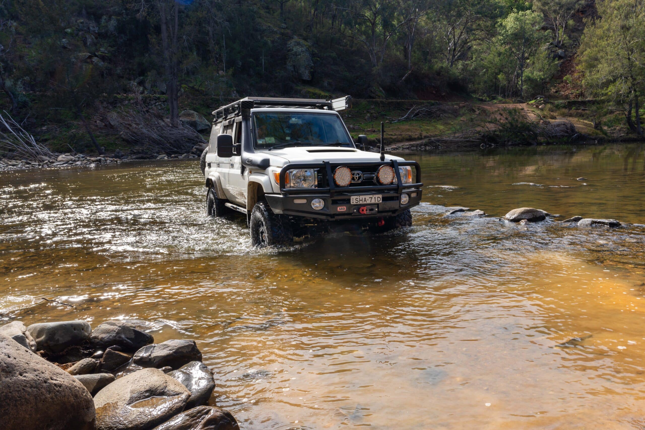
The famous curved crossing of the Macquarie River gives way to an alternate accessway to the Bridle Track and also to some non-designated camping areas along the west side of the river. There are no facilities here and only one area has access to deep water. The area is suitable for groups but there is some sensitivity from the surrounding properties owners so it’s not that place for a party and definitely needs to be kept clean.
Toilet – no
Swimming – yes, with one deep hole
Fishing – yes
Tent – yes
Camper – yes
Vehicle Based – yes
4wd required? – yes, low range to cross the river
Sammys Hole Reserve
An unmarked and sneaky camp for the 4wders. This one is located down a steep track a little way north of Root Hog and only has enough space for a couple of vehicles. The steep and rough entry track is very easy to miss as it is not signposted and makes this a low range 4×4 option only.
Toilet – no
Swimming – yes shallow
Fishing – yes
Tent – yes
Camper – no
Vehicle Based – yes
4wd required? – yes, low range
Mary Flynn Reserve
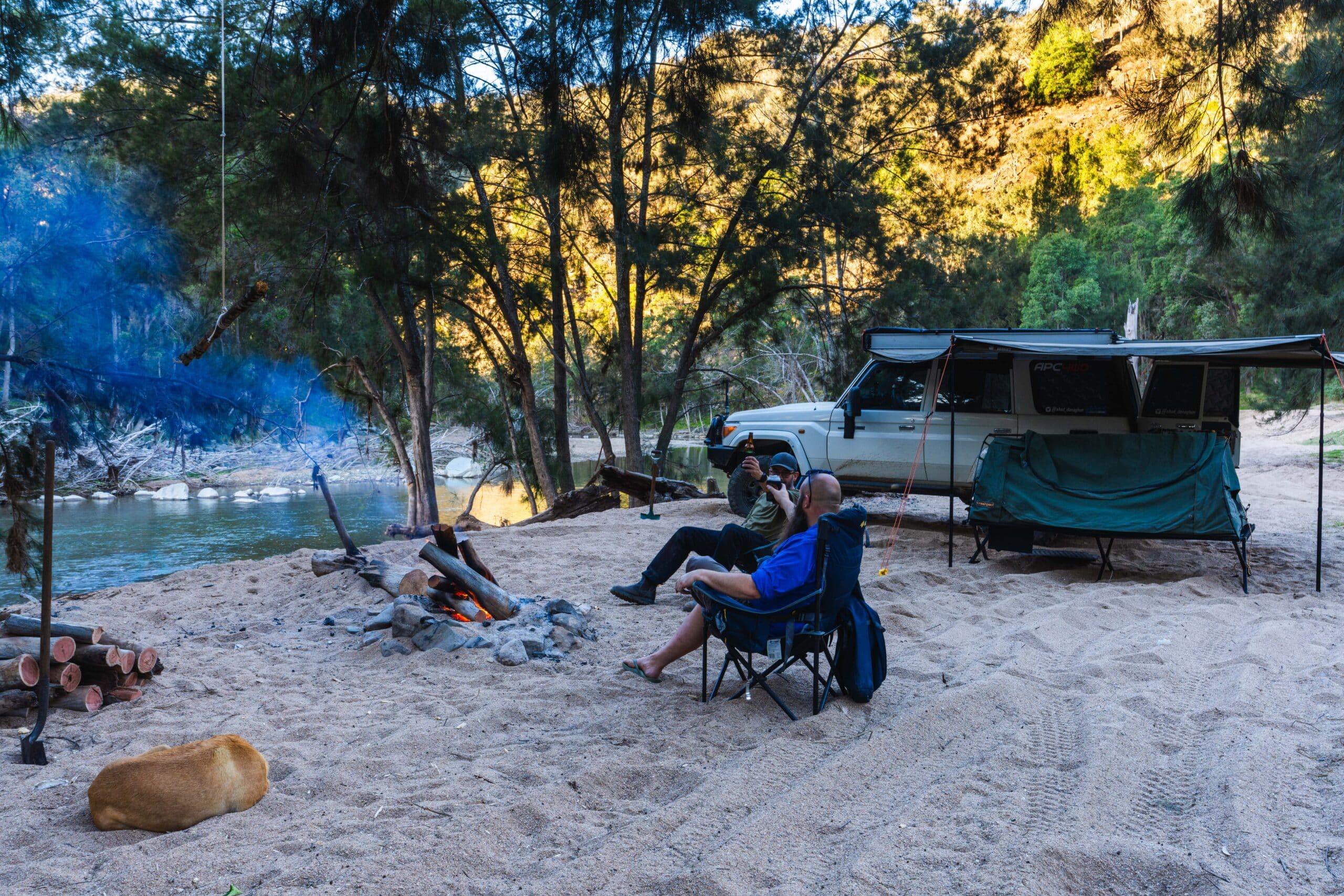
Formerly known as Sailors Bluff, Mary Flynn Reserve is named after the historical postmistress in Hill End. This is the first campground on the Turon River when heading north and includes an upper-level grassed area with views over the river and a very separate lower gravel area by the river. The lower area in particular has heaps of space and is one of the more popular spots along the track. Unfortunately, this means it has been abused.
There is a lot of rubbish about and we had to put out other people’s campfires when we came through. Many years ago this one was probably my favourite spot along the track but sadly it’s been trashed by irresponsible campers and I now have very little desire to return.
Toilet – yes, but a long walk from the lower areas
Swimming – yes with some deep holes
Fishing – yes
Tent – yes
Camper – yes, with upper level more suitable
Vehicle Based – yes
4wd required? – yes especially to access the river front
Cave Hole Reserve
Level grassy areas by the Turon River with soaring cliffs opposite make this one of the nicer camps along the track. Large areas that are suitable for groups but easy access does make it very popular. Pleasingly it was relatively clean when we passed through.
Toilet – no but a few hundred metre walk to Turon Crossing Reserve
Swimming – yes shallow and deep options
Fishing – yes
Tent – yes
Camper – yes
Vehicle Based – yes
4wd required? – AWD
Turon Crossing Reserve
The north most designated campground on the Bridle Track and the only one on the north side of the concrete causeway crossing over the Turon River. The campground includes disabled toilet access on the top tier level with picnic tables under a shelter. The lower level includes camping amongst shea oaks with direct river access. Another very popular camp and unfortunately another where we had to put out other people’s fires and pick up rubbish.
Toilet – yes with disabled access
Swimming – yes bottom level including some deep holes
Fishing – yes
Tent – yes
Camper – yes, upper level easier
Vehicle Based – yes
4wd required? – AWD
One for the history buffs
There’s history littered along the track from hand build walls and cuttings through rock to mining relics. Keep your eyes open and you will see structures that are well over 100 years old. A couple you should definitely check out:
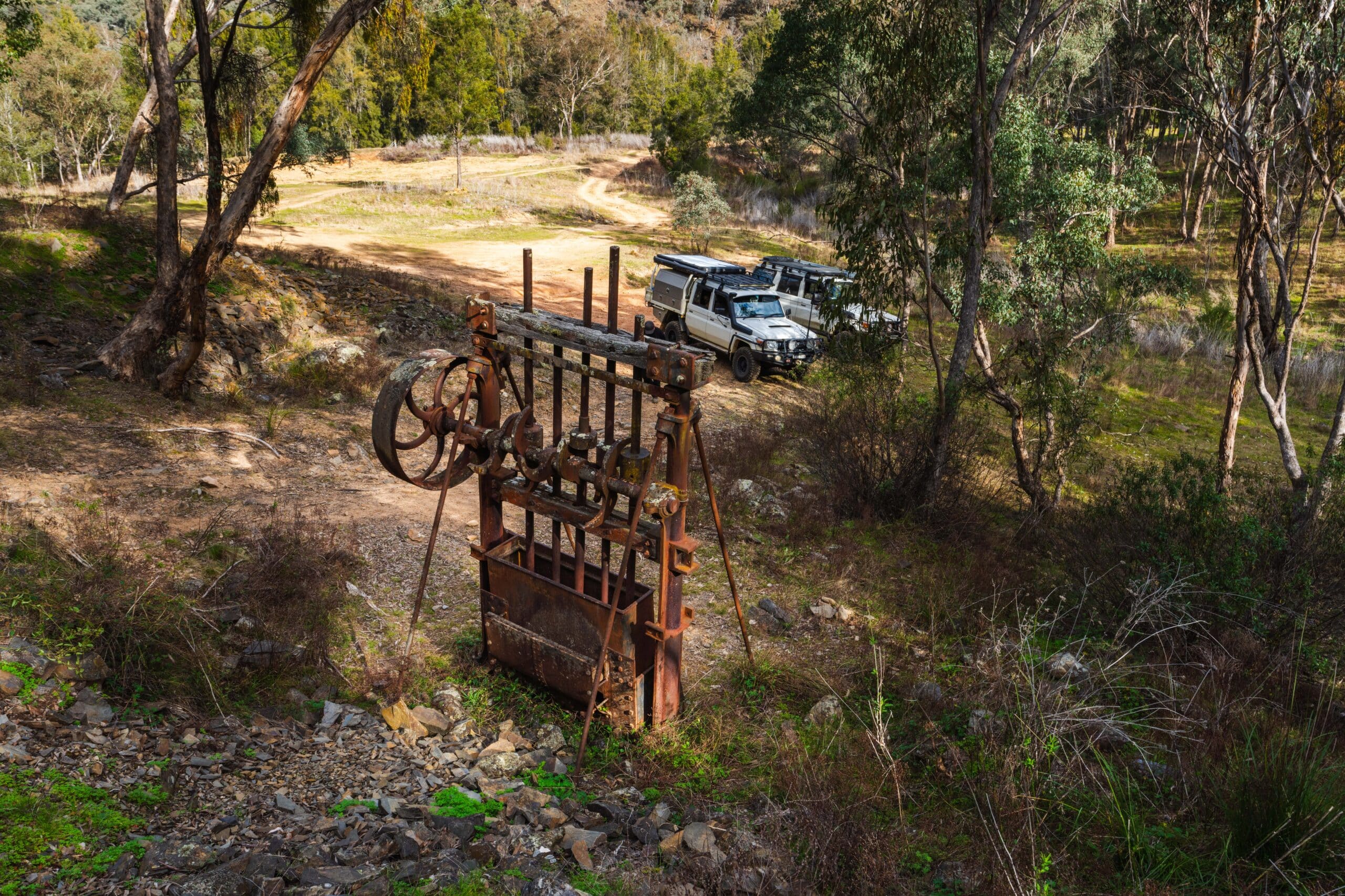
A good sized mine shaft cut directly into the hillside and right beside the track is located a few hundred metres south of the Root Hog Crossing. There’s very limited parking so if you’re in a group, parking at Root Hog and walking down will make it easier. You can wander into the mine (bring a torch) and have a look at the quartz seams that gold miners of yesteryear were chasing out.
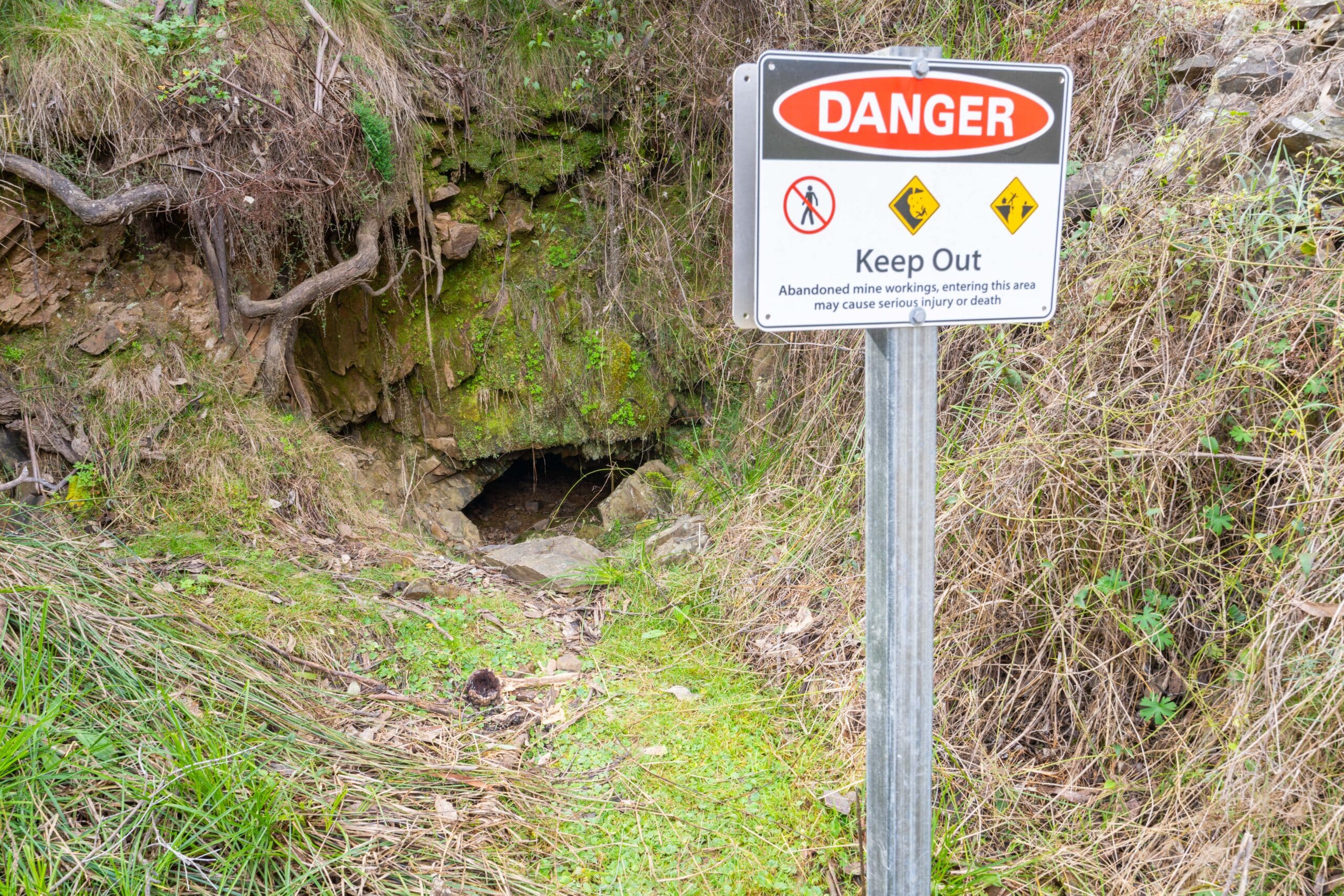
An old battery stamper sits proudly up the hill a few hundred metres north of Turon Crossing Reserve. Explore the hill to find various old mine shafts. These ones are not to be entered and are signposted as such but you can certainly climb up on top of the mining debris piles and gain some perspective on what the area would have looked like in its heyday.
How to get there
From Bathurst head to Eglington then north approximately 8km up Duramana Road to the Bridle Track turn off.
What to bring
Everything you need for your stay. Apart from some drop toilets there are no facilities along the track (Hill End has a very small general store). The river water is not drinkable due to the surrounding agriculture.
Best time to go
Outside school holidays will be much quieter, as will winter months. But if you go in winter be prepared as it can get sub-zero out there. Summer months will allow you to take advantage of some epic swimming spots.