Ever wondered how Hema creates their maps? The Hema Alpha Program is one way that every day fourby enthusiasts help Hema out. Hema is synonymous for their mapping content, books and maps covering all things off-road, caravanning and camping throughout…
Ever wondered how Hema creates their maps? The Hema Alpha Program is one way that every day fourby enthusiasts help Hema out.
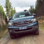
Hema is synonymous for their mapping content, books and maps covering all things off-road, caravanning and camping throughout Australia. Given the growing market of Australians wanting to go exploring and needing updated maps, the crew at Hema developed a program to help them collect data Australia-wide. This is called the Hema Alpha Program.
The Hema Alpha Program
Several years ago Hema realised that collecting data from the multitude of off-road and touring tracks across Australia regularly and getting it processed was an ongoing task growing by the year. Especially in today’s world where we want our information faster by the minute, to be correct and at our fingertips 24/7!
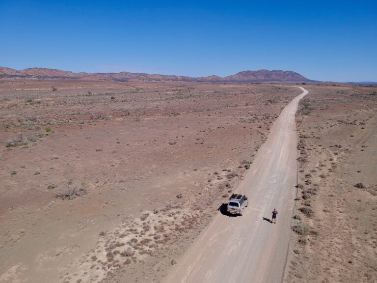
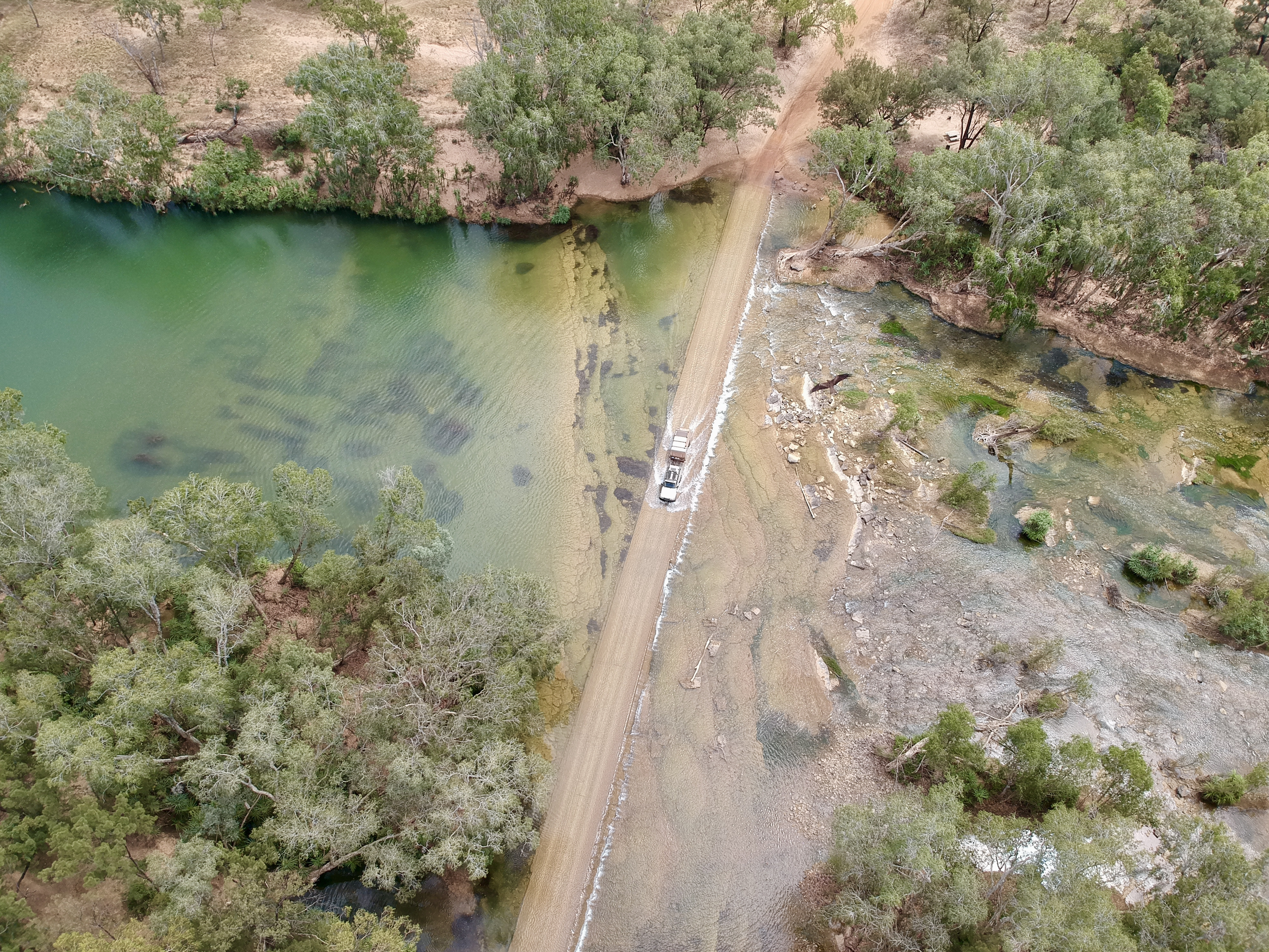
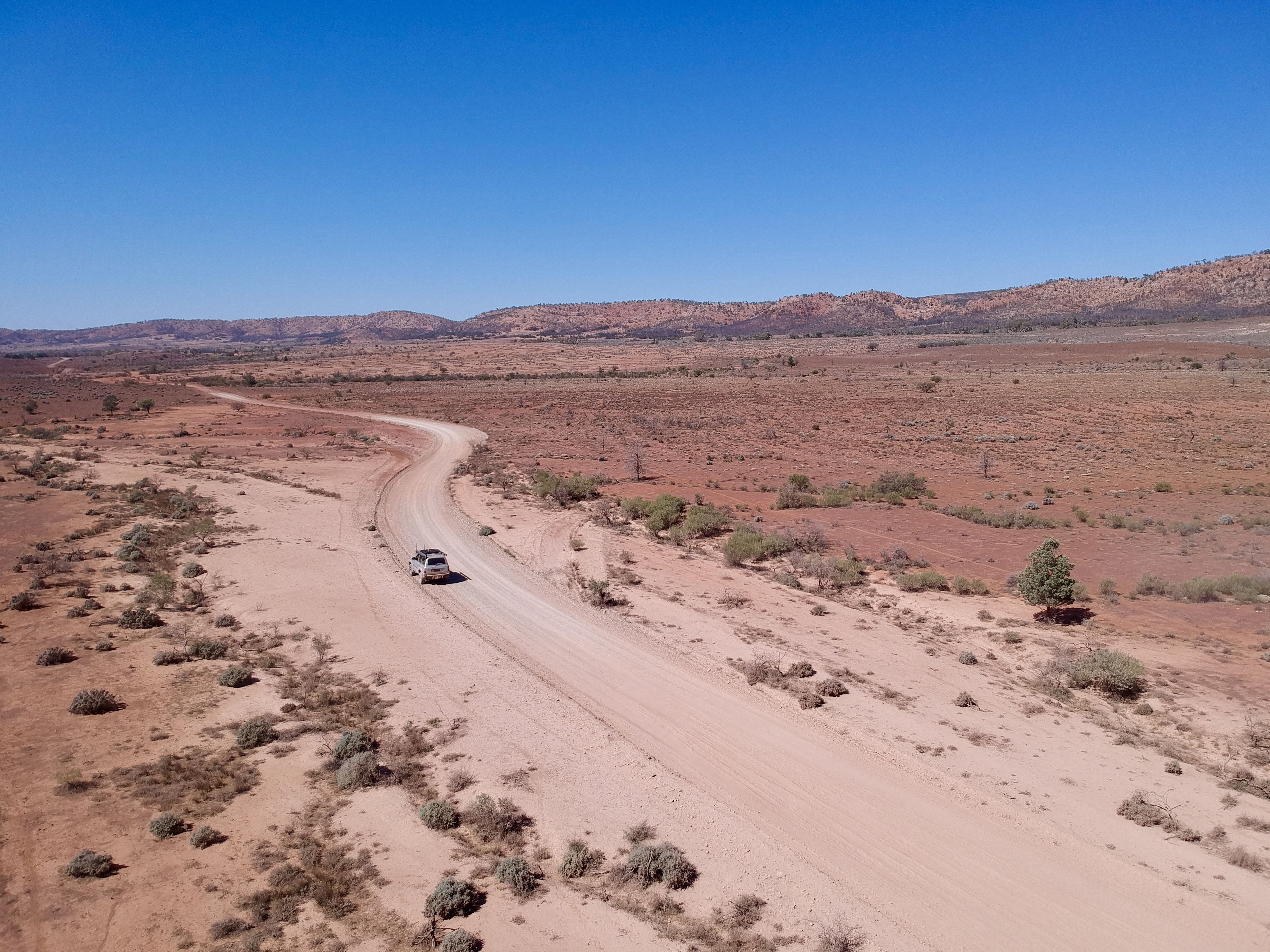
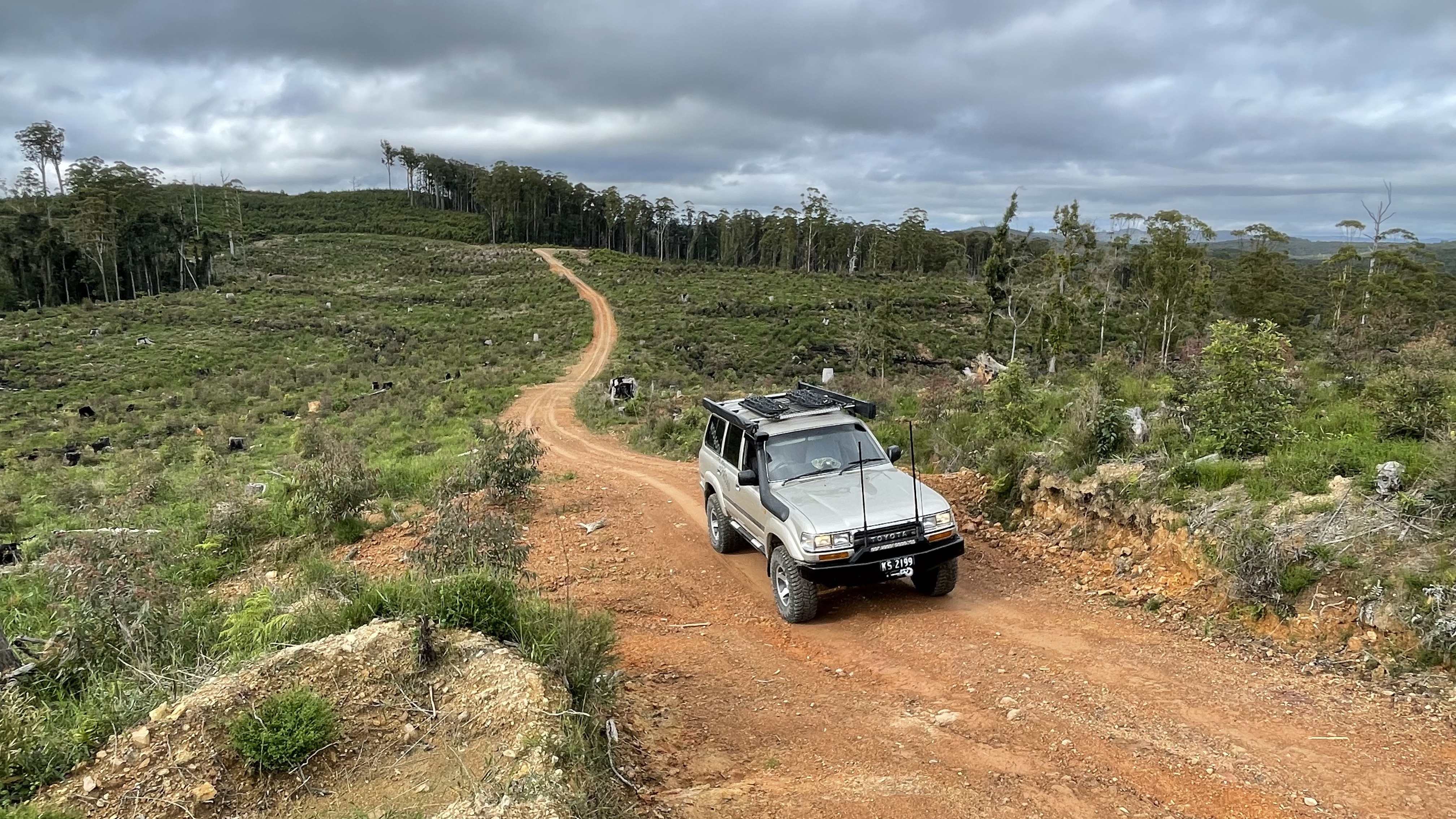
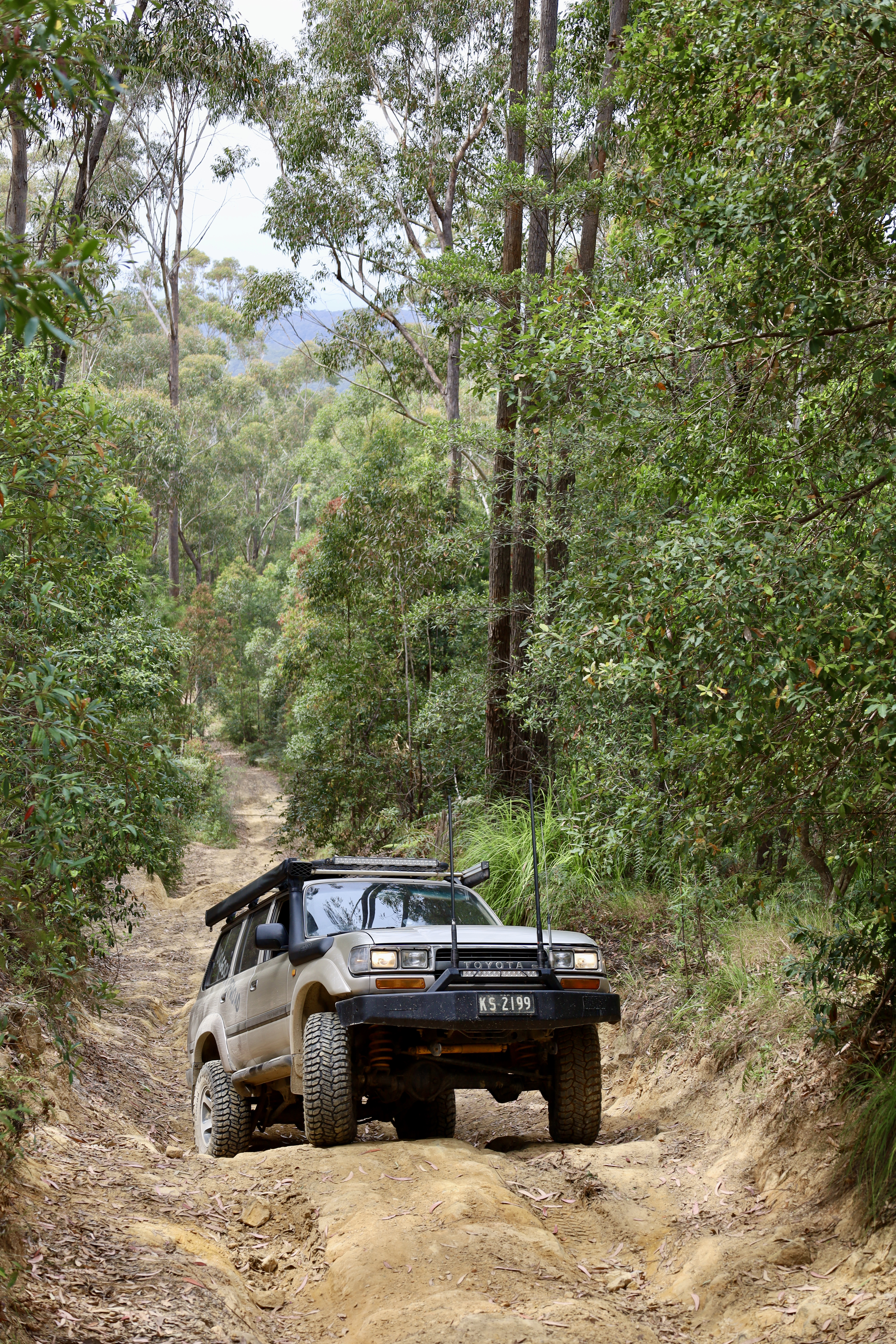
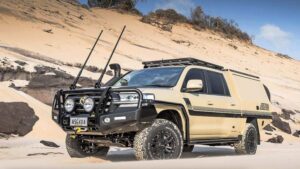
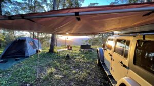
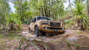
As a keen 4WDer, dedicated camper and just about to hit the road indefinitely, I was approached by Hema to help collect data for them on my travels. The data collected by myself and the other Alpha users covers everything off-road. This was everything from touring trails, iconic desert tracks, 4WD parks to generally anywhere off-road. Plus points of interest! It’s interesting to note that after two years and collecting over 30,000km across Australia there’s only been a 3% rise in new roads mapped.
How does it work?
The Alpha users are set up with an individual tablet, running a special mapping program where we can change the parameters of each track or road we drive on, according to guidelines. These include whether it’s a track or road (formed or unformed), road surface, 4WD class, whether it’s a MVO or public road plus other relevant data information. Our collected data is synced back to Hema where the team overlays our data against their previously collected data to see if there have been any significant changes. The updated data is then saved and used throughout the range of Hema’s products.
Now while the Alpha users hit their yearly goal well before the year was up, it’s still an ongoing collection of data on the off-road tracks and outback dirt roads, well in excess of over 100,000 km still to be driven. The collected data must be within several metres of the original track to be used, so we rely heavily on clear skies and the satellites working correctly with a good GPS signal back to the tablet.
Currently, there are nearly 15 Alpha users across Australia. Some are full-time travellers (like myself) and others are mad keen 4WDers. There are a couple of tour operators and even a nomad or two. So not only are the Hema trucks out and about collecting data for their products there’s also an array of other 4WDs out there doing the same! They’re doing this either every day, on weekends or when time permits to be within Hema’s guidelines.
Given the opportunity to help map for Hema has been a great experience while we explore and travel the back roads of Australia for myself and I’m sure the other Alpha users totally agree.