After two failed starts over five years, doing the Madigan Line was looking like the stars just weren’t going to line up and it would remain an unfulfilled dream. Then out of the blue, four XXXX cans lined up in a row and we had a road trip. Joining me were my son Jake, and his father and grandfather in-law Chris and Nev – making this one very special trip with two father-and-son sets, spanning three generations and aged from 26 to 75.
The game plan was pretty simple. Nev and I drive to Alice Springs, meet the boys at the airport, stock up on tucker and beverages, then pin the ears back for Mt Dare, Old Andado Station, the Madigan Line with a detour to Geosurveys Hill, cross-country to the centre of the Simpson Desert, back to the Madigan Line, and then at the Hay River decide whether to complete the Madigan or slip down the Hay River Track to Poeppel’s Corner. Then the coldie at the Birdsville Pub.
For images and the full Unsealed 4X4 experience, READ HERE.
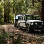
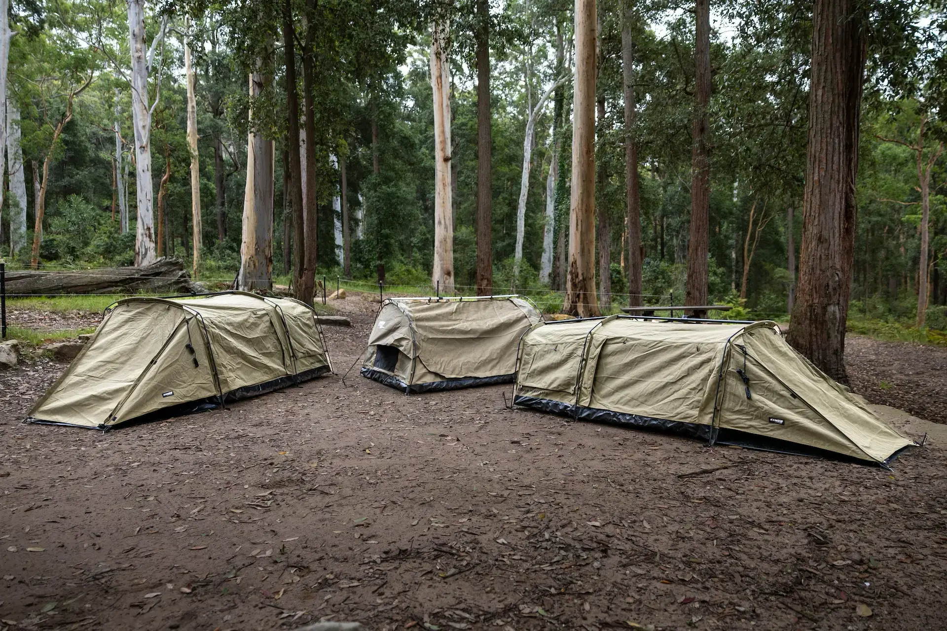
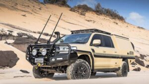
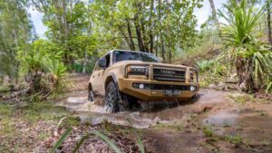
Chariots of choice were my 2013 130 Defender with stock engine and suspension – but rigged with long-range sill tanks, an almost completed canopy, front and rear winches, a set of MTZs, roof top tent and most of the other pretty standard accessories; whilst Nev’s Prado was stock except for a 2in suspension upgrade, rear storage and roof rack. The Defender carried 145L of water plus five jerry cans of emergency fuel; whilst the Prado was an endless supply of tricks and treats.
As we topped up fuel at Mt Dare, we reflected on how differently Madigan did his crossing. Cecil certainly didn’t rush into the expedition but prepared with great attention to detail. In 1929 he flew aerial reconnaissance in RAAF Wapiti aircraft fitted with Eagle cameras – the first time they were used in Australia and the first time they were used for geological work in the Commonwealth. They covered Birdsville to Alice Springs, Alice Springs to Oodnadatta via the desert’s centre, and an area covering Lake Caroline. He subsequently named the Simpson Desert after A. A. Simpson who was president of the Geographical Society. Over the next nine years he completed aerial investigations of the Lake Eyre region, and a ground expedition of the same area; plus traversed the northern end of the desert through the Jervois, Tralton and Toko Ranges. He sought out everyone who had probed the desert from every direction, gathering as much information as possible. Whilst Ted Colson had crossed the southern Simpson with Eringa Peter of the Antakurinya tribe and five camels in 1936, Simpson was keen to see the northern section explored further and agreed to finance an expedition.
Madigan also chose camels and sought out the legendary Bejah Dervish in Maree, who had been on the 1896/7 Calvert Expedition which travelled from Willuna to the Fitzroy across the Great Sandy Desert. Because Bejah was now too old, he recommended his son Jack, who became the first team member. The other positions were more difficult to fill as no salaries would be paid … but eventually R. L. Crocker was the botanist, H. O. Fletcher the field biologist, Robert Simpson the wireless operator, David Marshal the photographer, Andy Dieriman the sample catcher, Noorie Moosha the camel driver and Albert Hubbard the cook. Nineteen camels were required: seven carrying water, seven for riding and carrying personal gear and five to carry the stores and equipment (which included a Traeger wireless). This enabled communication with Harry Ding in Yunta who relayed messages and also supplied a truck driven by the famous Birdsville Mailman, Tom Cruise (who would move stores from the railway at Abminga, through Charlotte Waters to Andado). The people in and around this expedition were a ‘who’s who’ of Central Australian legend.
[read more=”READ MORE” less=”READ LESS”]
Jack had walked the camels from Maree and was waiting at Charlotte Waters when the rest of the party, supplies, Tom Cruise and the truck offloaded at Abminga. Once they joined up, the camels were loaded and headed for Andado Homestead (built in 1922), whilst the scientific staff took the truck.
It was at Old Andado Station (a new homestead was built in 1949) that we started to cross paths. Old Andado is a ‘must visit’ where one virtually steps back in time. Molly and Mac Clark owned Andado Station but following the death of Mac in 1978 and the destruction of the stock following a Federal Government decision to eradicate Brucellosis and Tuberculosis in NT cattle, Molly sold the property and moved back to the original homestead – restoring it and running it as a tourist destination.
Today it is just as it was back in the day with all the furniture, clothes, sapling roof beams, corrugated iron roofing, cement floors … it is even complete with enough holes and gaps in the walls and roof to be somewhat air conditioned in a bush sort of way. Volunteers now manage the place and greet visitors with freshly baked scones.
As it turned out, Madigan’s party didn’t actually meet up here as Jack had found there was not enough feed for the camels and had moved on; and then a problem with the wireless caused a further delay. It was at Andado Bore No. 1 that the entire expedition finally came together and headed off into the unknown.
Today it is remarkably simpler in our 4X4s with Hema maps loaded into the GPS, but it is still a real adventure. This is remote travelling, and getting it wrong inevitably has consequences … often dire. This is isolated sand dune country and whilst the dunes start relatively easy, speed needs to be monitored and caution taken as you never know when someone might be coming up the other side of a dune.
Keen to experience as much of what Madigan did as possible, we climbed The Twins near the junction of the Todd and Hale to stand where he stood, next to the cairn they built and where they recorded the names of the expedition members on a note left in a tobacco tin. As we took in the view and read the plaques it was humbling to reflect on how brave these men were (trying to achieve what all before them had failed to do) and the conditions in which they travelled.
The dunes start to increase to 15 metres after Camp 6 – but as we were late in the season and clearly a number had preceded us, the track was well defined and easy to follow. Earlier in the year the tops of dunes would still be formed with soft sand, making the going much tougher.
Just after Camp 8 we cracked a right to Geosurveys Hill. Even in this country, ‘track’ is a very generous term and the 39km trip took us nearly five hours. Despite travelling parallel to the dunes, it was very harsh terrain ramping over hummocky mounds while trying to miss the spinifex humps. Chris and Nev in the Prado were starting to question the sanity of all Land Rover drivers and one Defender driver in particular.
Jake did his first Simmo crossing when he was four, Nev had done a fair bit of touring including the Canning; but it was Chris’ first desert trip and a pretty full-on initiation for someone more comfortable in gale-force seas off Fraser Island.
Geosurveys Hill is a very rare feature in this sand-dominated desert. It’s a rock-covered hill, discovered by Reg Sprigg whilst making the first south-north motorised crossing of the Simpson in 1964. His party erected a stone cairn, which still survives; and a trig point was added later. Did we climb it and stand by the cairn? You betcha we did. And despite being nearly blown off the top, the picture of my son Jake and I will be going straight to the pool room.
From Geosurveys Hill, we cross-countried to the Geographical Centre of the Simpson Desert. Given the roughness of the ‘track’ just completed, trepidation was high as the GPS plotted a south-east course knowing that the suspensions under our vehicles had been in the comfort zone compared to what they were about to be asked to endure. After the first 15 to 20 massive dunes it was evident that going back would be significantly more difficult as the dunes had already increased in size and softness. This was slow, thumping and bumping stuff with any straight line of 20 metres a bonus; but was it fun … my oath it was. The 130 was carving a road for the Prado which was doing great even if the underside was bush-polished to a mirror finish and the sides were a bit pin-striped.
Another 40 odd km, another five hours … desert touring heaven. And then we popped out onto a shot line and thought we had hit the highway. A few more klicks, a couple more sand dunes and bingo there we were, 25°22’00.01”S 137°05’00.06”E, standing slap-bang at the Geographical Centre of the Simpson Desert.
After a hard day on the trail, everyone was hungry enough to eat a horse and chase the rider. Chris had promised a very special meal at the centre – and true to his word, beer battered fish and chips were for tea. Red Emperor and Deep Sea Perch fillets materialised from Cryovac bags, spuds were sliced and the beer batter prepared just like in an old-time fish and chip shop. The hardwood coals proved too hot so some were spread on the claypan until the oil was the perfect temperature and the fillets were dropped in. Fair dinkum, they were to die for; and after washing them down with a cold ale, every one of us slept particularly well that night.
As we started back toward the Madigan Line we picked up a track that seemed to be heading in the right direction and, as it turned out, it took us all the way. Again ‘track’ is a very loose term as no more than a couple of trucks had been through leaving faint tyre marks to follow – but it was better than bush bashing the 88km. We were particularly grateful as we got closer to the Madigan and the spinifex became thicker, higher, clumpier and generally more painful. Thankfully the tops were knocked off, saving us constant checking around the exhausts.
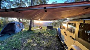
Back on the Line and the further east, the higher the dunes became – increasing to 20 metres. Luckily some recent rain had packed the sand a bit and the going was generally good. We came across some tremendous campsites at Madigan Claypan and there was wood galore for a roaring fire.
Along this stretch we also saw some camels and plenty of dingo and lizard tracks; even the odd snake trail. The dunes were literally alive with wildflowers and Chris’ expectation of nothing but red sand was replaced with seas of brilliant white, red, yellow and purple.
We ticked off the camps one by one. At Camp 15 on the Hay River we hung a right and went down to the tree blazed with M39 by Madigan at Camp 16. Sadly it is almost grown over these days… but again it is amazing to be standing where he stood over 70 years before.
The day started to get exciting. First, a sharp rock slashed the sidewall of one of the MTZs as clean as if it were a surgeon’s scalpel … nothing that six plugs wouldn’t fix (to get us back to civilisation, anyway). Then suddenly we were engulfed by thousands and thousands of budgies (which even impressed Jake). They coloured the sky bright green and then black, as they turned and twisted en masse. Spectacular stuff.
We decided to continue on the Hay as neither Chris or Nev had been to Poeppel’s Corner. It turned out to be a fun decision as it put us on an east to west leaning – requiring numerous crossings on the more difficult sides of the dunes. This provided several opportunities for the 130 to snatch the Prado over the top, with no photo opportunity missed. It never hurts to remind the Toyota boys with some gentle ribbing that Land Rovers do it better, I reckon.
The QAA Line provided excellent dunes culminating in Big Red, the big daddy of dunes; and then Birdsville … the most iconic of pubs, a cold beer and a shower (in that order).
It was a fantastic trip into some of the most remote, inhospitable areas our continent could throw at us. We got through with one punctured tyre, some sore bums, no broken bones, fuel in the tanks, no beer in the fridges and fathers and sons smiling from ear to ear. It was a corker of a drive and despite the hardships, the guys all want to know: “When are we doing the next one?”
FACT FILE
WHERE:
Northern Simpson Desert with access from Old Andado if travelling west to east; or from Hay River Track if heading east to west.
PERMITS:
Sections of the Madigan Line are off limits with permits very difficult (or impossible) to obtain. Camps 3, 4 and 5 are in Aboriginal Lands; and travel through Munga-Thirri is at the discretion of Queensland National Parks.
TRIP STANDARD:
Very difficult
Extreme remote travel. Maximum planning required for fuel and water usage. Satphone, navigation, reliable vehicle carrying essential spares and tyres a must.
MAPS AND GUIDES:
Hema GDT North East
The Outback Travellers Track Guide Series 1 Track 5 North Simpson Desert
Words and Photography by Wayne “Nugget” Nielsen
[/read]